> From the WeatherWatch archives
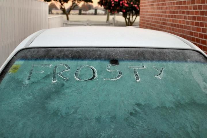
It’s another “hard to start” day in the south with another widespread frost covering the region.
 The frost reading in Invercargill is 9.2 , its just touching 8 degrees in Gore and 7 degrees in Wanaka.
This morning’s frost in Invercargill is the hardest of the current run of frosts.
As for air temperatures (taken at 06:30am) , it was -5 in Invercargill , -2 in Gore , -6 in Queenstown and -2 in Wanaka – but skies basically clear.
The forecast again says frosts will be slow to thaw and drivers are urged to be wary of ice and black ice – although the risk for today would’ve mostly past now, with highest risk for black ice particularly around sunrise.
Plumbers across Southland have been busy attending to burst pipes caused by the ultra chilly frosts.
– Image / Andrew Blair
– By Malcolm Gayfer, NewstalkZB Southland
Comments
Before you add a new comment, take note this story was published on 2 Jul 2012.


Add new comment
adam on 3/07/2012 6:19am
The frost levels in Inland Otago (eg Queenstown, Wanaka) is no surprise and quite expected for winter but to get frosts in parts of Coastal Southland like Invercargill like this doesn’t happen too often. Sure Invercargill is wet and cold but these two things usually keep away the “big” frosts.
Reply
kylie on 3/07/2012 12:01am
i live in Invercargill and usually wait go by the weather report for the day previous in that mornings paper according to that it was a 10 degree frost in invercargill yesterday morniong that going by the grass minimum temperature. I am guessing that this mornings will be harder than that agin maybe an 11.
Reply
WW Forecast Team on 3/07/2012 12:21am
Hi Kylie – there can be quite a difference between the temperature on the ground and the temperature a metre or so above the ground – this is why air temperature readings are usually taken at 1 to 1.5 metres above the ground, as it more accurately measures the air temperature. Coldest air sinks to the ground, so the frost temperature can be a few degrees colder than the air temperature.
Hope that makes sense!
Cheers
WW
Reply
kylie on 3/07/2012 12:36am
thanks that confirms what i thought. So can you tell me what your reading was for the frost in invercargill yesterday and why there maybe a difference between yours and what is reported in the paper which comes from the metservice. They had a 10 and i think i was told via facebook yesterday that you made it an 8. It definately didn’t feel like an 8
Reply
WW Forecast Team on 3/07/2012 1:24am
The forecasts we have for Invercargill currently come from MetOcean (weathermap.co.nz). The story above was written by NewstalkZB and we’re assuming they’ve quoted numbers from their own weather stations and MetService. Remember overnight temperatures fluctuate significantly in winter so some parts of Invercargiill will have different numbers. We hope to invest more into Southland weather next year so we can provide you with all the information you need.
Cheers
PD
Reply