> From the WeatherWatch archives
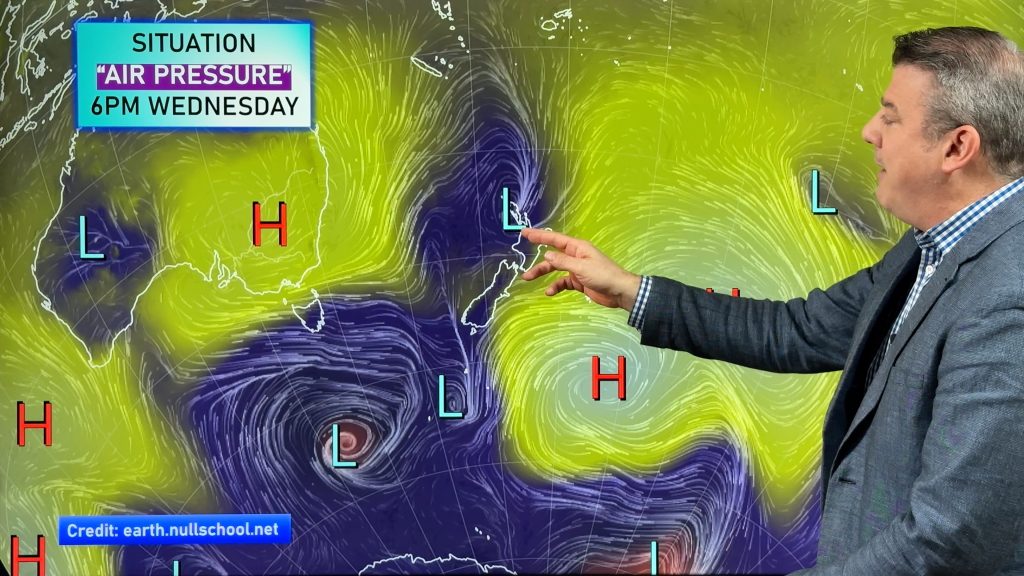
We had the spring equinox on Wednesday and this weekend daylight savings kicks off – meaning our clocks spring forward one hour. This means our weekend loses one hour (rip off!).
Saturday
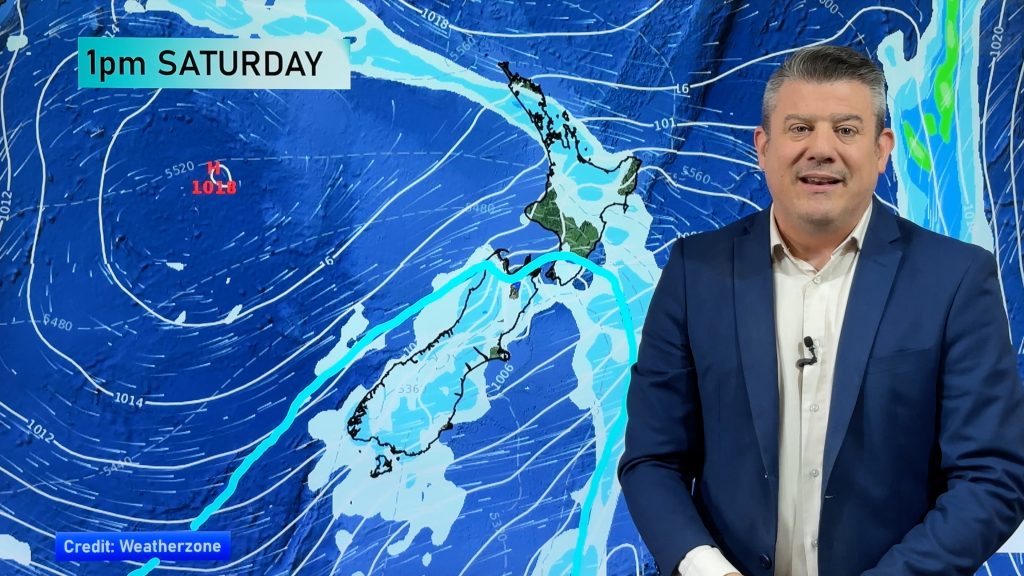
Weatherwise and wetter weather again returns on Saturday to parts of Hawkes Bay and Gisborne – moving in overnight tonight – with showers in other eastern areas of both islands as winds shift from east to south east to southerly over the next day. Rain will be patchy.
Around the upper North Island a few showers may affect Northland on Saturday.
Inland and western NZ should be mostly dry – and quite sunny as high pressure grows over the South Island.
Rain and showers ease across eastern areas of the nation by the end of Saturday.
Sunday
By Sunday a high will be firmly centred over the South Island
But the wet south east flow continues into the North Island’s east coast – bringing more showers there across the day.
This showery flow in eastern parts of the North Island will also move up and affect Northland and maybe even Auckland and Coromandel Peninsula.
And while the eastern ranges are blocking most wet weather from tracking westwards, a few showers may develop inland on Sunday in the North Island (like Waikato, inland BOP and Central Plateau).
Sunday’s forecast looks set to be repeated on Monday too.
The Weekend Forecast in a nutshell
A few showers for eastern NZ and one or two developing inland. Temps average in the west and north – a little cooler in the east. High pressure growing over the South Island. Rain generally easing to showers for sodden parts of the North Island’s east coast.
– WeatherWatch.co.nz
Comments
Before you add a new comment, take note this story was published on 24 Sep 2015.


Add new comment