Wintry change only just starting to move in, peaks this Saturday & Sunday
31/05/2019 2:43am

> From the WeatherWatch archives
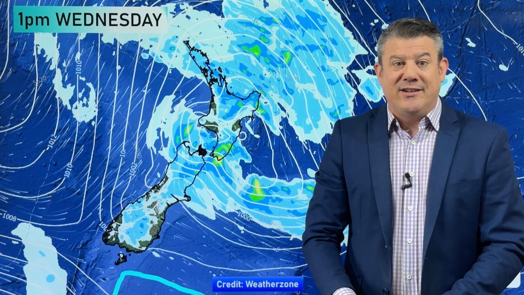
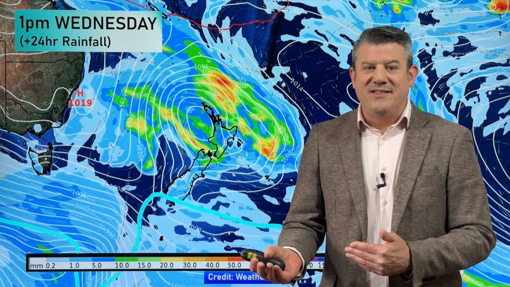
The big wintry change which has already blasted Tasmania and South Australia is about to pounce on New Zealand.
Latest satellite imagery shows the main cold front moving in from the west tonight and across the entire country over Saturday. The colder change will cross the north eastern corner (Gisborne, East Cape) overnight Saturday/very early Sunday.
The coldest air basically peaks over New Zealand across the next 24 to 48 hours. The wettest period will be today, tonight and across Saturday, then showers on Sunday become more confined to southern and eastern regions, but also the western North Island where they don’t ease until later in the day for some. Sunnier or drier weather returns elsewhere.
Friday is gradually cooling down. The air will gradually get colder and colder as we go into tonight and through Saturday and Sunday – before warming up on Monday.

#2PM #Update: Temperatures are slowly dropping across the country. The cold doesn’t peak until Saturday/Sunday. #NewZealand #weather
Live Observations: https://t.co/JhDQfV5T50 pic.twitter.com/BUESJu6WD1
— WeatherWatch.co.nz (@WeatherWatchNZ) May 31, 2019
Centres in #NZ with the highest chance of snow next 2 days (even if briefly) are: #NorthIsland: Waiouru, Ohakune, National Park.#SouthIsland: Lumsden, Te Anau, parts of Queenstown, Arrowtown, Hanmer Springs and maybe Wanaka (might be too dry there).
– https://t.co/gb7E1qcpZ3 pic.twitter.com/BZbW3qSgwc
— WeatherWatch.co.nz (@WeatherWatchNZ) May 31, 2019
– WeatherWatch.co.nz
Comments
Before you add a new comment, take note this story was published on 31 May 2019.


Add new comment