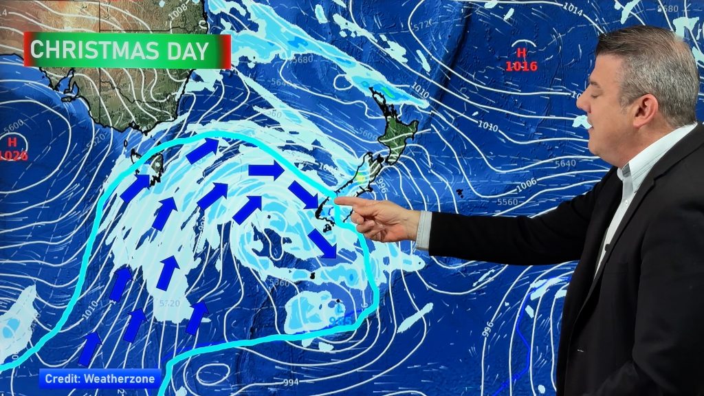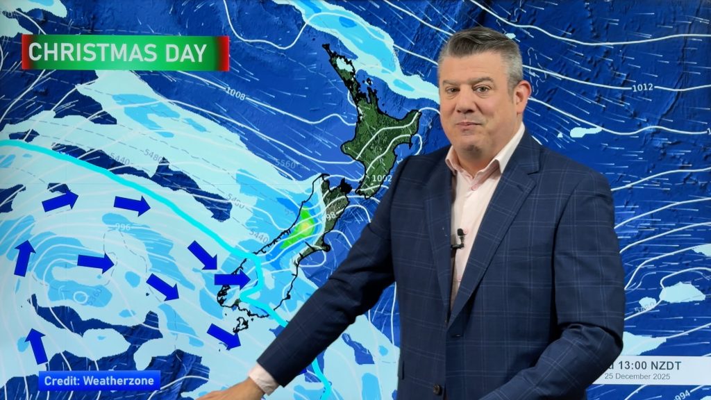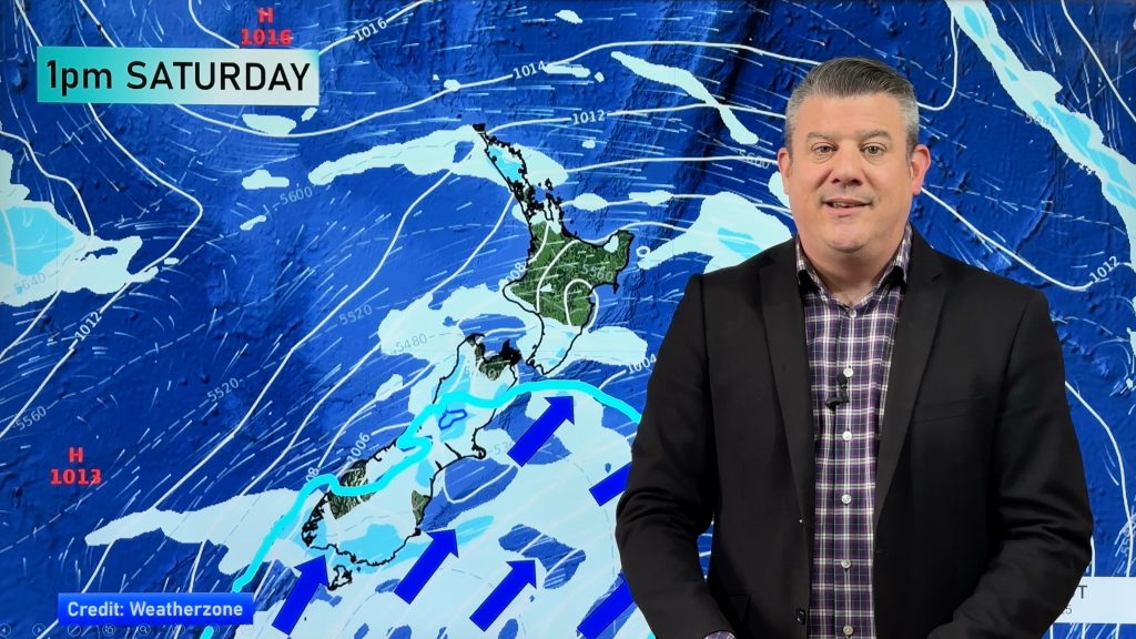
From our Education page — New Zealanders shouldn’t be so surprised how often it’s windy here. After all, we’re basically a few mountainous islands stuck partially in the Roaring Forties.
But to many people, that doesn’t mean a lot and doesn’t clearly explain the set up. So we’ll give it a go!
No offence to our small country but…we are very small! We look huge compared to our island friends to the north, but compared to Australia, North America, Asia, Europe, Africa, South America…we are tiny. Our small size means the weather basically barrels over the top of us.
Which brings us to the “The Roaring Forties”.
This is the belt of wind at latitude 40 (south to latitude 50) over the Southern Ocean that sailors centuries ago named. Unlike the northern hemisphere, which has a lot of land at this latitude, the Southern Hemisphere in the 40s is mostly ocean with just tips of land – like Tasmania, New Zealand’s South Island and the very southern portion of South America the only areas that briefly jut out into this area. With a lack of land to slow things down the wind whips up across the sea, fuelled by storms these strong winds swirl around Antarctica quickly.

These westerly winds blast over the South Island and the lower portion of the North Island. In fact, the Roaring Forties stops northwards at about Whanganui. North of that you’re outside of the Roaring Forties.
This link here from NOAA (US Government) explains how the Roaring Forties are created.
So when you’re a few islands in the middle of no where, surrounded by ocean and more than half of your country juts out south directly into the Roaring Forties belt of strong westerlies, it’s no real surprise that NZ keeps getting shots of wind when we think it should be calmer.
OUR MOUNTAINS MAKE IT WORSE – AND BETTER
New Zealand’s mountains have a giant impact on our weather. They create floods and droughts by holding up rain clouds in one region and blocking rain from reaching the next region. This process also makes for some spectacular high clouds and ‘UFO’ clouds in our east and central parts. The winds coming over the Southern Alps and our main ranges also speed up – giving us those gale nor’westers which are so well known in Canterbury or Wellington.
These same mountains and ranges also make other areas very calm and sheltered, like Nelson and Bay of Plenty. Inland areas away from the sea are often much calmer too, like Taumarunui in the north and Alexandra in the south.
NZ HAS THREE MAIN WIND TUNNELS:
- Foveaux Strait
- Cook Strait / Wellington
- Auckland City – which is just over 1km wide at its narrowest point between Tasman Sea (west) and Pacific Ocean (east).

These three areas can often have windy weather lingering longer all year round (especially coastal areas or exposed areas) simply due to the effect the Roaring Forties has around NZ and surface winds looking for the path of least resistance. (A bit like how water flows through the lowest points on land, like valleys, the wind flows through our wind tunnels between islands like the Straits, or at our lower/narrow points like Auckland, and to some degree Manawatu and Wairarapa partially fuelled by the Cook Strait tunnel but also the low gap in the Manawatu Gorge).
FORGET THE ROARING FORTIES, HOW ABOUT THE FURIOUS FIFTIES AND THE SCREAMING SIXTIES?!
The closer you get to Antarctica the worse those winds get and the bigger those Southern Ocean storms are. The creative names given by sailors centuries ago clearly sums up just how terrifying this part of the planet is. There is no where else on earth that is anything like the Roaring Forties, Furious Fifties and Screaming Sixties.
And remember, New Zealand has half of itself parked in those Roaring Forties forever. (well, maybe in millions of years NZ might have moved on!). Storms and lows often form around us, at all times of the year. It’s why sometimes we can have a very unsettled summer – and why we’re well known for often having four seasons in one day.

A DIFFERENT PERSPECTIVE:
On maps North is always straight up. But if we flip the map of New Zealand so that “up” looks directly towards where our predominant wind (W to SW) comes from it paints a different picture in your mind about where we sit on the planet. It helps understand why we get so many windy events, sometimes for weeks – even months – at a time.
WeatherWatch.co.nz often says NZ only has a two month winter and a two month summer – the other eight months are windy west to south west times – or an extended spring and autumn if you like.

– By WeatherWatch.co.nz head forecaster Philip Duncan.


Add new comment
Scott S. on 28/07/2025 11:59pm
I confess I misunderstood your reference to the parts of South America included in your description of which rare pieces of land in the Southern Hemisphere dip into the latitude zone known as the “Roaring Forties.”
“…Tasmania, New Zealand’s South Island and the very southern portion of South America [are] the only areas that briefly jut out into this area [the 40s]”
I applied the word “briefly” to the tip of South America, but compared to Tasmania and NZ, there is a significant amount of land in Chile and especially Argentina in the 40s, and it dips into the 50s at the very tip.
But I see now your reasoning in phrasing it that way, when comparing the area to the rest of the world, especially the Northern Hemisphere.
All in all, a very enlightening article!
Reply
Dawn on 29/12/2024 7:06pm
Thank you very much for all the work you put into explaining this aspect of our weather. Much appreciated. Thank you.
Reply
Jonny on 27/12/2024 10:33pm
Those big southern storms are what brings me my snow!
Also the map looking west really highlights how much of NZ is exposed to those winds. It also shows how much lower we are compared to to Straya.
Thanks WW team.
Reply
Cairo on 15/11/2024 3:37am
Hi weatherwatch do you think deforestation has increased overall wind speeds in parts of NZ? I’ve lived in multiple areas and i’ve found the windiest places tend to around open fields or plains like Canterbury and Southland. Especially during a Foehn!
Reply
WW Forecast Team on 18/11/2024 10:03pm
Hi Cairo, it’s highly likely deforestation means winds can be worse in those areas. If Foehn winds run into a forest that acts like speed brakes on ground level and would certainly help ease the power of it locally. But not nationwide – it would be limited to that general area/region. Anything that adds obstacles in front of the airflow should put speed bumps into it (at surface level).
Cheers
– WW
Reply
Bob McDavitt on 1/02/2024 11:03pm
Nice image looking westwards and showing the wind tunnels (plus the side tunnel thru Manawatu gorge which is where I now live.
For the budding scientists out there, there are two physical reasons that can be added to NOAA’s explanation
1) Delta T: Wind is air being pushed by a difference in barometric pressure (weight of air above). The energy which drives this comes from the temperature difference between tropics and poles. the Delta T. This is weakest in autumn and strongest in spring, hence the calms days of a kiwi March and the “equinoctial gales” of a Kiwi September.
2) Conservation of angular momentum. A ballerina extends arms and starts spinning, as the arms are drawn in the spin becomes faster. So it is with planet earth as air from the tropics makes its way poleward to balance the delta T. So as the belt around 30S is drawn inwards to fit the belt at 40S the air spinning around the belt goes faster. (if you are a flat-earther then please reset you neurons)
Bob
Reply
WW Forecast Team on 2/02/2024 1:08am
Thank you Bob, really love that – appreciate it! 🙂
“Enjoy” that Manawatu Gorge wind tunnel this weekend!!
Cheers
Phil
Reply
David Sim on 4/03/2023 7:07am
There were very few nor westers in Marlborough this year. They normally blow quite persistently from November to March. Not this year. Are La Nina and the positive phase of the Antarctic oscillation the main reasons ?
Reply
View more comments