> From the WeatherWatch archives
“Minimal risk of severe weather” reads the crown forecaster’s severe weather outlook for the next few days and beyond.
For many across the country there will be sighs of relief after a fairly stormy September.
WeatherWatch.co.nz says the large high that’s moving in means both the North and South Island will have almost no chance of gales, heavy rain and snow over the coming five days at least.
WeatherWatch.co.nz says the long term models are already picking two possible areas of concern for New Zealand at the end of next week/next weekend.
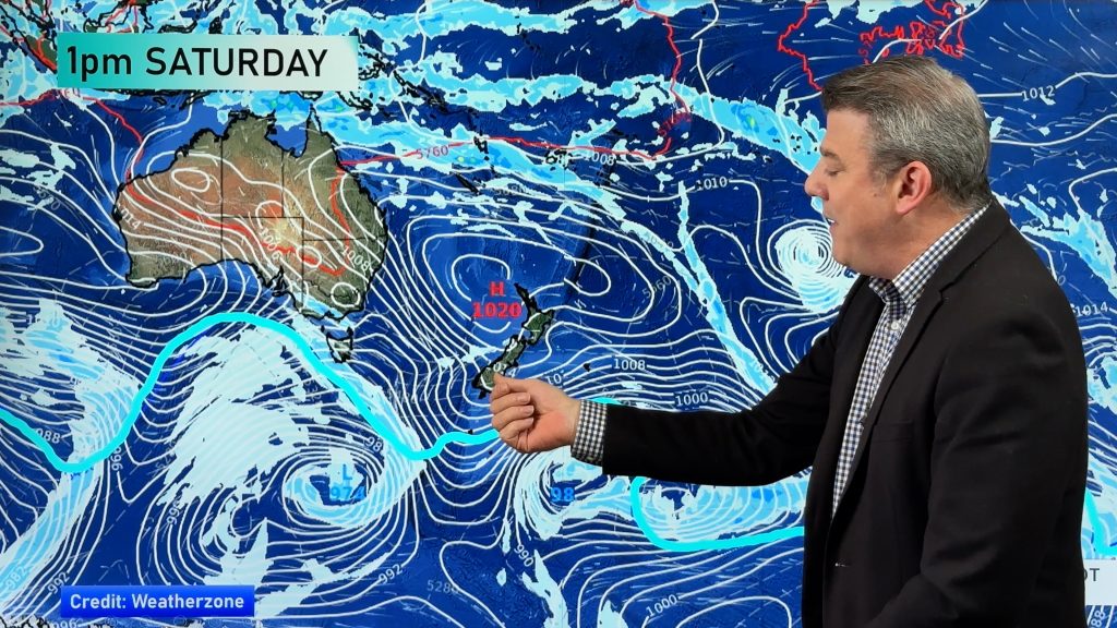
Firstly a low and frontal system in the Southern Ocean/Southern Tasman Sea may see heavy rain warnings issued for the West Coast.
Secondly – a possible low forming in the northern Tasman Sea which could see a depression crossing northern New Zealand next weekend bringing warm but wet weather.
Both are a long way out but we’ll keep you posted with analysis of all the latest weather models leading up to the end of next week.
Homepage image / Zelda Wynn
Comments
Before you add a new comment, take note this story was published on 30 Sep 2010.


Add new comment
Ken Ring on 1/10/2010 11:50am
Perhaps some severe weather after Wednesday. After the 11th, some more unseasonal cold. Winter’s not over yet for some.
Reply
Paul Rockell on 30/09/2010 8:07pm
Hi,
This latest NIWA forecast for late spring and early summer printed in the Herald seems wrong under a strengthening La Nina, at least for eastern Northland where we would expect above average precipitation events from the North Tasman. I can not find it on NIWA site. What is going on, is something changing out there?
Reply