> From the WeatherWatch archives
Most places had a chance to dry out yesterday with plenty of sunshine and breezy winds. Today, however, will start off in a similar way but clouds will increase from the west as a front approaches this evening.
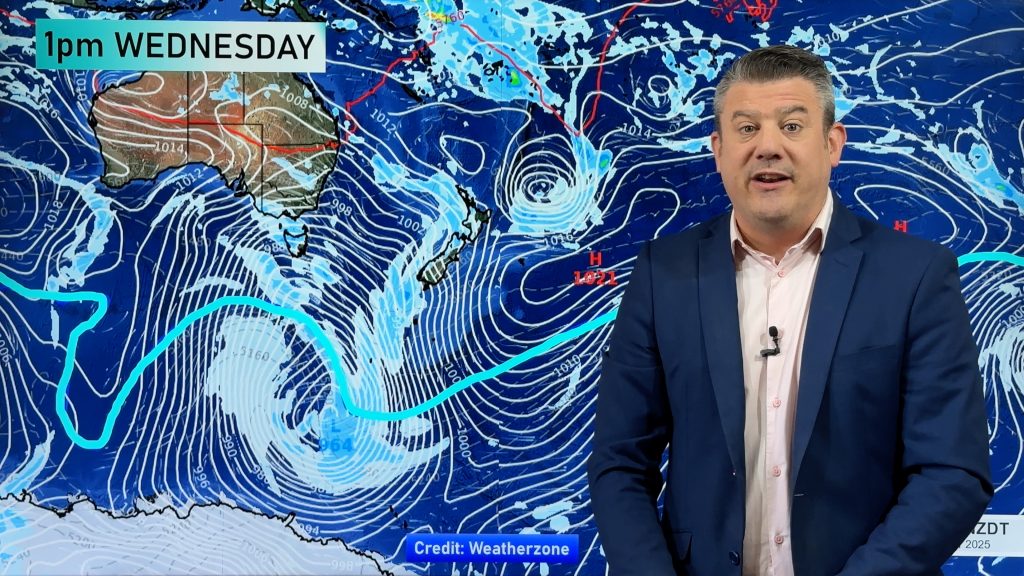
Rain will spread in to the west and north of New Zealand tonight with rain easing to showers during Wednesday in most national centres.
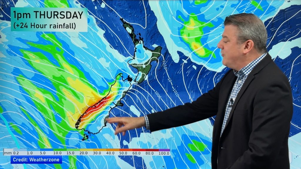
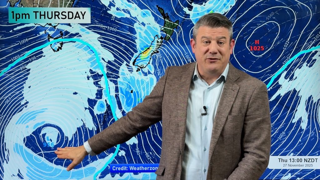
The rain is due to low air pressure forming in the Tasman Sea and signals the start of a wet few days ahead – not the best news for those trying to enjoy the final week of the school holidays.
Northern and western New Zealand will be exposed to the developing low from tonight through until about Saturday with showers and another period of rain before the week is out. Conditions should be relatively mild in the north with nor’westers. The good news is that sunny, dry, spells should also be in the mix on Wednesday and Thursday.
In the South Island the spell of cold weather isn’t about to end with Gore reaching just 2 degrees yesterday. However the windless and bitterly cold air over Southland and Otago may get flushed out on Friday or Saturday as the low from the Tasman Sea crosses New Zealand and deepens out in the Pacific Ocean – creating a strengthening south westerly flow over the deep south.
Comments
Before you add a new comment, take note this story was published on 13 Jul 2009.


Add new comment