> From the WeatherWatch archives
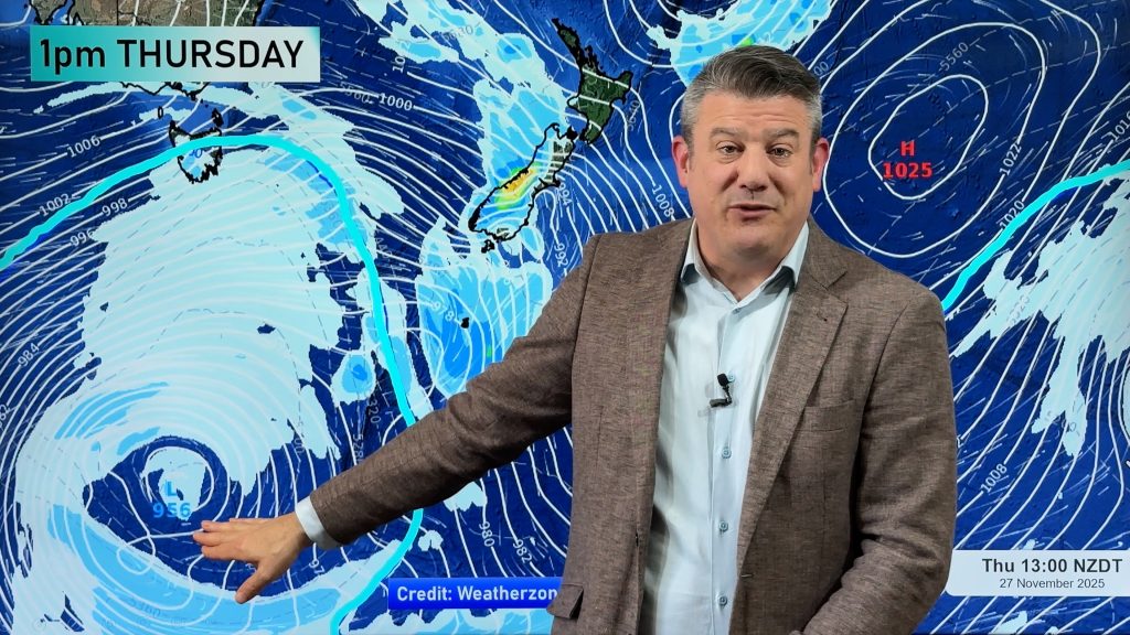
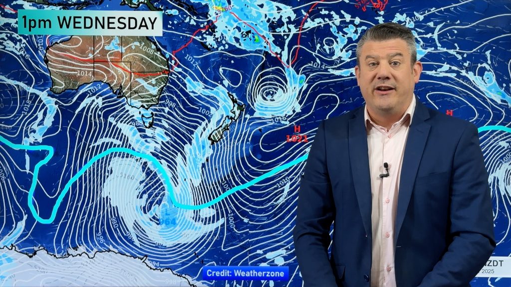
3 days of stunning weather and light winds are about to come to an end as a developing low moves in from the Tasman Sea.
Cloudy periods are developing ahead of the front across the lower North Island this afternoon.
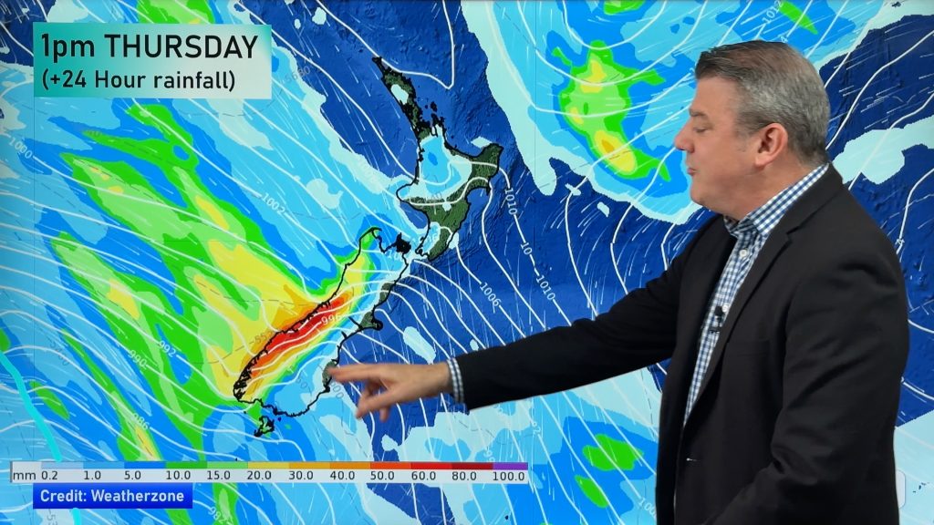
The main rain bands are expected to move onshore during Tuesday night bringing rain, possibly heavy at times, across northern and western parts of the country.
On Wednesday conditions shift to a westerly flow which is likely to remain for much of the week and into the weekend.
It’s another cool day today in the shade with many regions sitting between 8 and 13 this afternoon.
Main Centres at 3:30pm
- Auckland 12
- Hamilton 11
- Tauranga 13
- Wellington 10
- Christchurch 9
- Dunedin 10
Comments
Before you add a new comment, take note this story was published on 27 Jul 2009.


Add new comment
Chris B on 27/07/2009 4:37am
I’m interested in the 7 day rain forecast from the 6 hourly model data on “another” site at the moment…are we looking a a couple of cold snaps this coming weekend?
Looks to me like a couple of sub-Antarctic lows will be brushing pretty close….
Reply
SW on 27/07/2009 4:21am
No surprises though if its westerly not too much Southerly (ie SW) to it will be ok as its still winter officially.
Reply