Wet and windy – Weather risks on Wednesday
9/12/2014 6:00pm

> From the WeatherWatch archives
The main risk today is for central parts of the country – as a strong southerly front moves through and across Cook Strait around midday.
This system looks big and messy – bringing a risk of gales and pushing some heavy rain before it – though it is looking like weakening from mid afternoon.
The rain might be a problem for central areas from this morning into early afternoon – with the top of the South Island first in the firing line this morning.
The risks for the lower North Island will increase about midday, with the strong winds in tow.
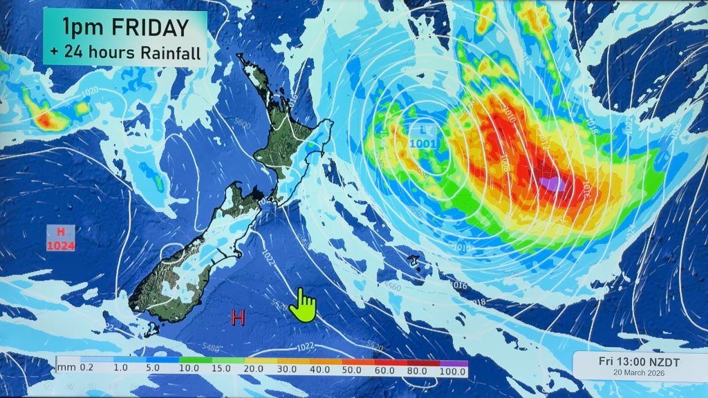
The Southern Alps are also in for southeasterly winds which may gust fairly strongly through the day – looking at the isobaric maps for today (see above), it’s looking a distinct possibility – so anyone in that part of the country would do well to keep an eye and an ear out for warnings.
– Aaron Wilkinson & Drew Chappell, WeatherWatch.co.nz
– Map: Google
Comments
Before you add a new comment, take note this story was published on 9 Dec 2014.
Latest Video

High pressure grows, but a stormy end to next week possible
A settled weekend is on the way and apart from a few isolated showers in both main islands many regions…
Related Articles
High pressure grows, but a stormy end to next week possible
A settled weekend is on the way and apart from a few isolated showers in both main islands many regions…

A tropical low next week *might* affect NZ
It’s not locked in yet, but a tropical storm may end up drifting southwards towards NZ about one week from…
NZ 9 Day: Two subtropical lows, but a lot of dry weather
In our extended outlook today we track two subtropical storms, one that will likely miss most of NZ while the…


Add new comment