> From the WeatherWatch archives
While many parts of New Zealand saw rough weather yesterday, Wellingtonians were left wondering “what storm?” for much of the day under light winds and very little activity.
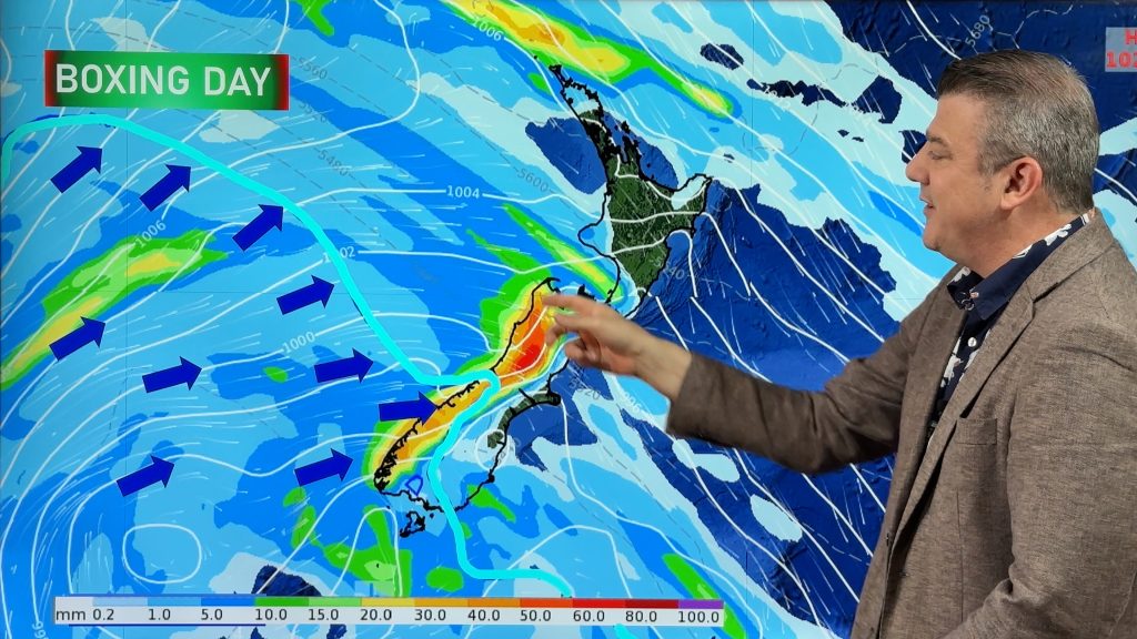
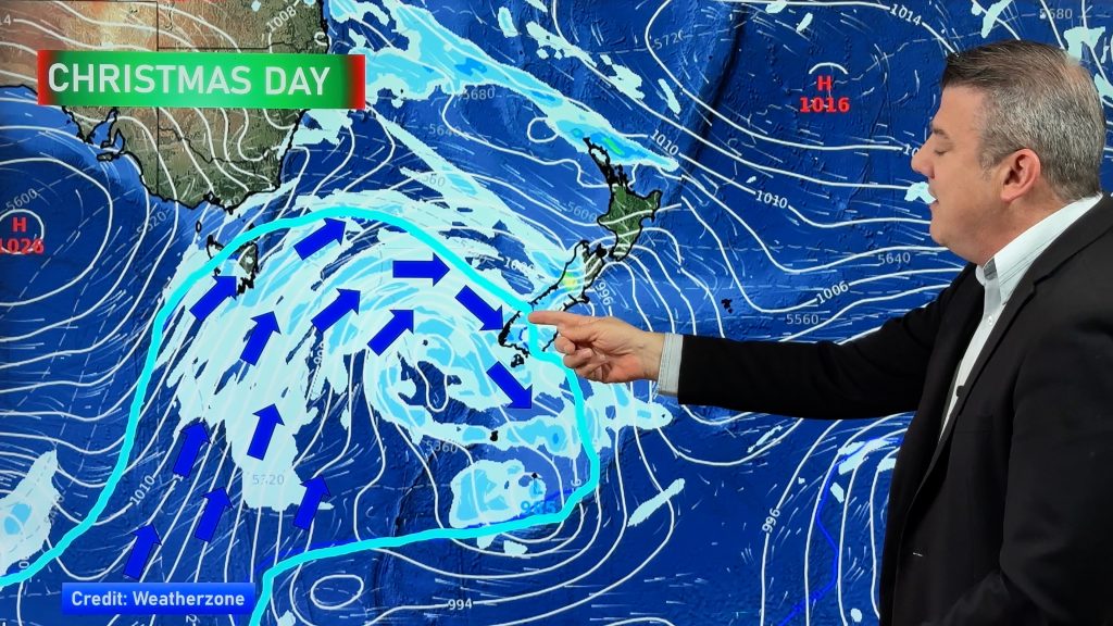
The calm weather in the capital for most of Thursday was due to the centre of the giant low – which has been affecting our weather since the end of last week – being right above them.
Most large lows have strong to gale force winds around – but a calm centre that can be anywhere from the size of Auckland to the size of New Zealand. In this case, the centre of the low sat over central NZ for Thursday with gales either side of it in Auckland and Christchurch.
As the centre of the low continued it’s very slow drift eastwards into the Pacific Ocean the southerly blast (which curved around the centre) had its chance to finally move in – roaring in to Wellington around 6pm last night with hurricane force winds.
Early this week WeatherWatch.co.nz predicted “hurricane force” winds for the region – a term rarely used by us. “It’s a term we use only when we expect huge winds that are rarely experienced here. While Wellington gets strong winds it’s not common to have southerlies hitting 140km/h and above” says head weather analyst Philip Duncan.
The winds in Wellington last night were equal to that of a low end Atlantic hurricane says WeatherWatch.co.nz.
WeatherWatch.co.nz predicted winds of 150km/h in the city, but gusts on Mt Kaukau hit 200km/h. However Mt Kaukau is the top of the ranges, not the city centre.
Today severe winds will continue.but conditions will ease overnight with gales dying away over Saturday. Much calmer weather is expected in Wellington next week.
As of 8am winds were averaging 80km/h and gusting to 110km/h. The temperature was 6 with a wind chill hovering around 0 according to WeatherWatch.co.nz.
The centre of the low remains just east of Wellington – so today it’s the Chatham Islands turn to say “what storm?” – but that question will be answered for them tomorrow when the same roaring cold southerly hits them.
– Homepage image / Zephyrometer in Wellington, Sam Hall
– WeatherWatch.co.nz
Comments
Before you add a new comment, take note this story was published on 20 Jun 2013.


Add new comment
Guest on 22/06/2013 2:51am
The west coast side of Wgtn also experienced >200 km/h at the Whitireia Peninsula. That is my southerly watching location, they cross over Cook Strait there and head north via Mana Isd to Paek. It explains why parts of Poriua were badly hit. Couldn.t get in off SH1 to Waitangirua yesterday, blocked we’ll and truly by police, so I’m picking severe damage there. 200 km is horrendous but explains pattern of damage west coast Wgtn.
Reply
WW Forecast Team on 22/06/2013 4:29am
Wow, thanks for the update. Incredible – I’m actually amazed there wasn’t more damage. It shows how resilient Wellington really is to storms! Thanks for your update
– WW
Reply
Guest on 21/06/2013 7:19am
Hi…I wouldn’t really say Mt Kaukau is the top of the ranges. The nearest ranges in Wellington are the Rimutakas, Tararuas and possibly the Orongorongo hills.
Mt Kaukau is a decent hill (400 metres?) just above suburbs of Johnsonville, Khandallah, Ngaio and Broadmeadows. It is exposed, but probably reflective of neighbouring hill suburbs – a 15-20min walk away.
Reply
WW Forecast Team on 21/06/2013 9:51am
Fair comment – we were just trying to balance media reports that made it sound like 200km/h went though the entire city.
– Phil
Reply