Weekend’s News: Wet in the east, drier out west, NI – Strong winds North Island today – Weather on Sunday
24/11/2023 6:00pm

> From the WeatherWatch archives
Here’s what is making the weather headlines today…..
WET IN THE EAST, DRIER OUT WEST – NORTH ISLAND
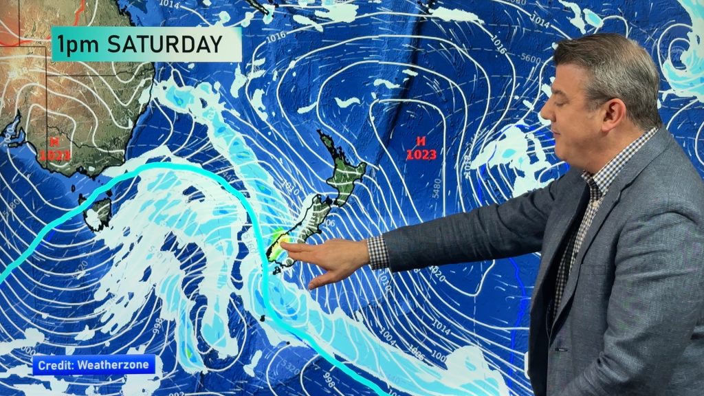
A strong southerly airflow lies over the North Island today, this brings showers in the east, rain north of Napier. Out west conditions are drier apart from a few spits or showers south of New Plymouth, clearing this evening. Coromandel and Bay Of Plenty may see showers also.
The South Island has a dry day with mostly sunny weather however Banks Peninsula north in the east has showers this morning but these will clear.

MSLP / Rain map – Saturday 25th November 2023 4:00pm – GFS Weatherzone.com.au 
STRONG WINDS FOR COASTAL AREAS – NORTH ISLAND
As mentioned above a strong southerly airflow covers the North Island today, some coastal parts may see gale force winds then easing overnight.
Strong to gale southerly winds will affect the Marlborough Sounds too. While the rest of the South Island sees fairly calm winds, east to northeasterly winds will freshen this afternoon south of Chrisrchurch in the east, coastal Otago especially sees fairly fresh winds.
You can see these winds, how strong they are and when they ease on our wind page here.

WEATHER ON SUNDAY
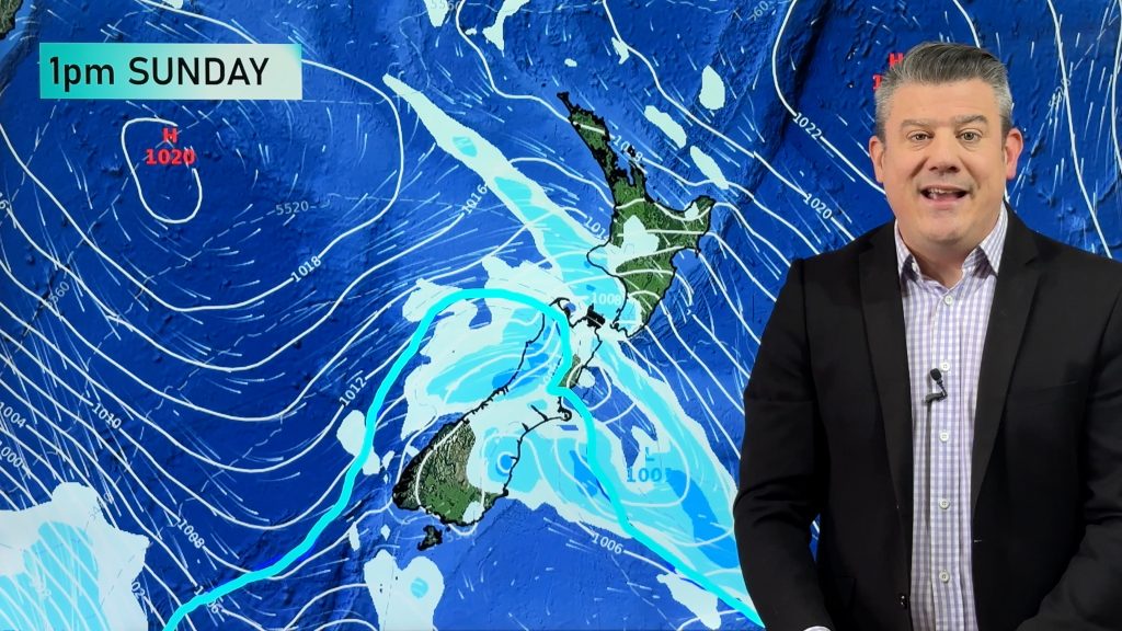
High pressure brings mainly settled weather to the South Island on Sunday, the North Island has rain in the east thanks to southerlies but these gradually clear from the south.
North Island
Cloudy in the east with rain, heavy falls for northern Hawkes Bay and Gisborne, clearing from the south afternoon on wards with gusty south to southwesterly winds. Out west conditions are drier with a mix of sun and cloud, one or two isolated showers possible, showers about Bay Of Plenty may be heavy late afternoon / early evening.
South Island
Mostly sunny, a cool start inland. Foggy to start for the lower South Island. Some high cloud pushes in from the southwest during the course of the afternoon and evening. Overnight fog patches may be a little more extensive.

MSLP / Rain map – Sunday 26th November 2023 4:00pm – GFS Weatherzone.com.au 
Comments
Before you add a new comment, take note this story was published on 24 Nov 2023.


Add new comment