> From the WeatherWatch archives
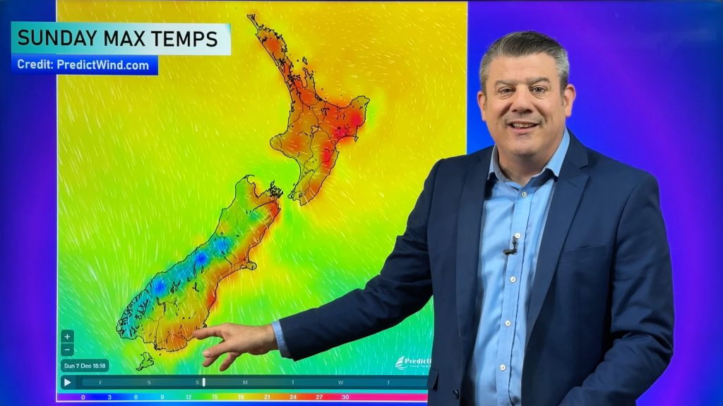
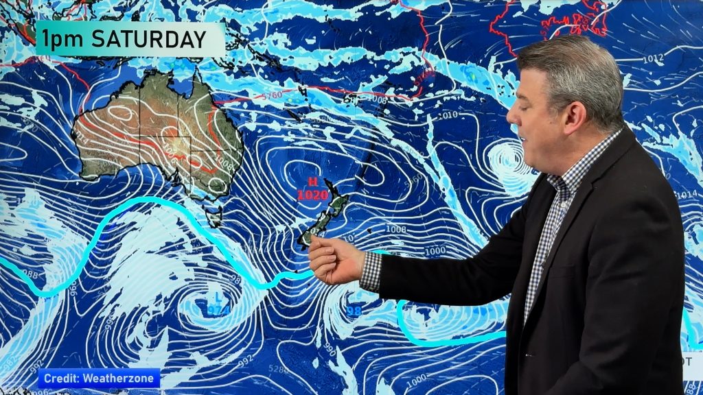
Updated 10:18am — New Zealand will be affected by two weather systems this weekend – a low that will cross over the upper North Island very early on Saturday morning, then a blustery cold south to south west change moves up the country starting in the south on Saturday PM and spreading everywhere on Sunday and Monday.
“There is good news and bad this weekend” says head weather analyst Philip Duncan. “The good news is that the low crossing the North Island is going to track much further north than we initially thought, this will limit how deep it will get and how many regions will be exposed to wind and rain. At this stage perhaps Northland might be the only region exposed to brief rough weather from this low between midnight tonight and dawn Saturday, although neighbouring regions should monitor overnight Friday/Saturday AM as the low moves through”.
But Mr Duncan says the bad news is a cold change coming in for farmers with newborn stock.
“Those with new born lambs don’t want to hear of polar blasts – but we have somewhat of a polar snap this weekend, starting in the Deep South on Saturday PM and spreading across most of New Zealand on Sunday”.
While snow amounts don’t look too major there will be snow falling to low levels – say 100 to 200m around Southland and Otago – but the wind chill will be biting for newborn stock, especially from Saturday night to Monday morning….about 36 hours of very cold southerlies with isolated snow flurries and hail showers.
Hopefully the time frame is short enough to not cause too many headaches – and at least snow levels, generally, don’t look too significant.
This southerly is coming from Antarctica and will peak across NZ on Sunday, starting Saturday and easing Monday.
Next Week
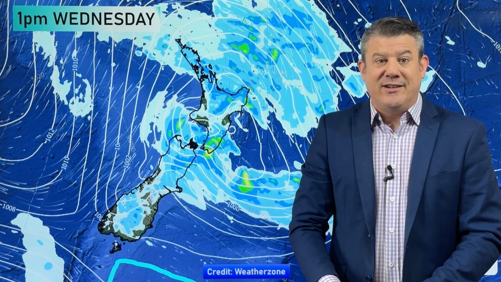
A large high rolls in next week bringing a return to lighter winds and milder days for Tuesday, Wednesday and Thursday for many regions.
TO RECAP
Saturday – A low crosses Northland early on Saturday morning bringing a period of wind and rain to northern NZ (mostly Northland and perhaps Auckland, Coromandel Peninsula and parts of Waikato and BOP). Much of Saturday may well be dry (and possibly sunny) for many regions as we transition away from the low and wait for the southerly to move in.
Sunday, on the other hand, looks windier and colder as a south to south west flow spreads across all of the country by the end of the day with strongest winds (and higher chances of gales) the further south you go.
– WeatherWatch.co.nz
Comments
Before you add a new comment, take note this story was published on 3 Sep 2015.


Add new comment