Weekend Newsfeed: Rain heads into dry north – some relief, but not for all
24/02/2024 9:20am

> From the WeatherWatch archives
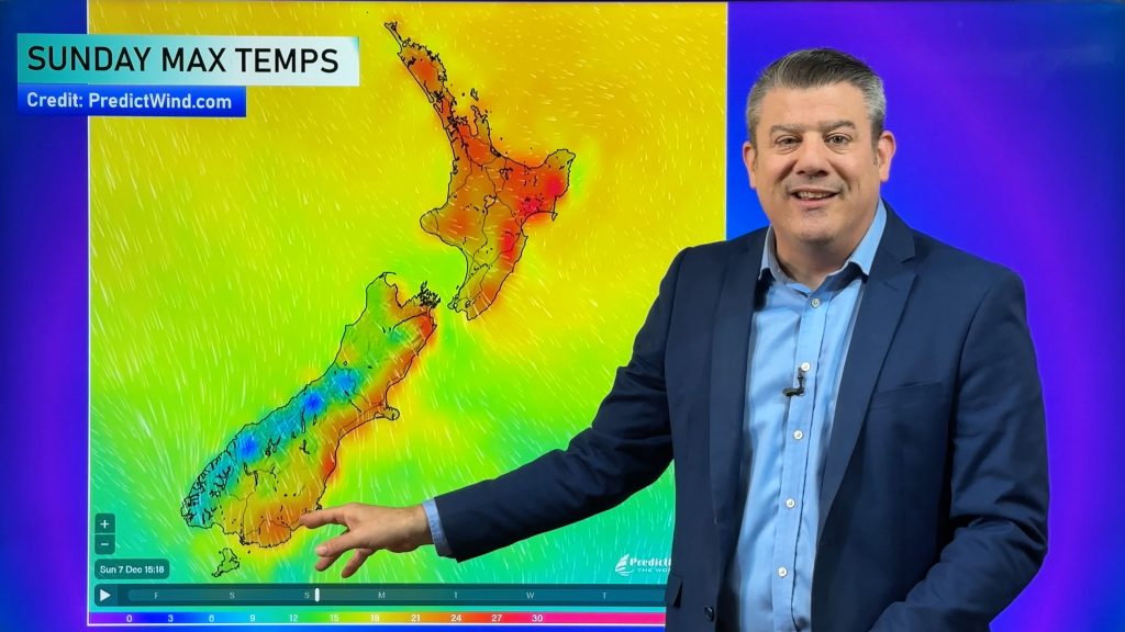
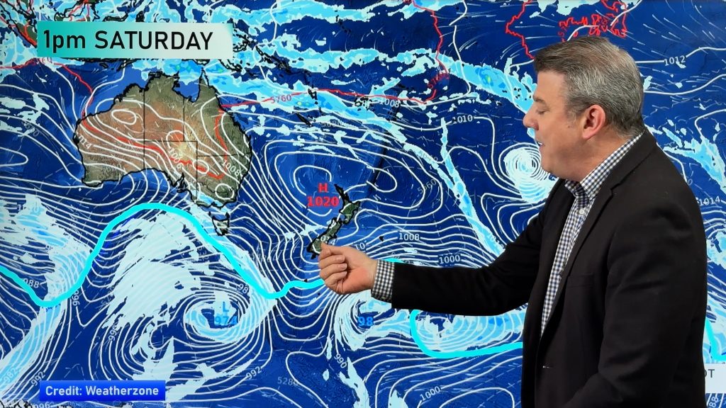
A fairly weak cold front moves up the North Island on Sunday and clears the South Island.
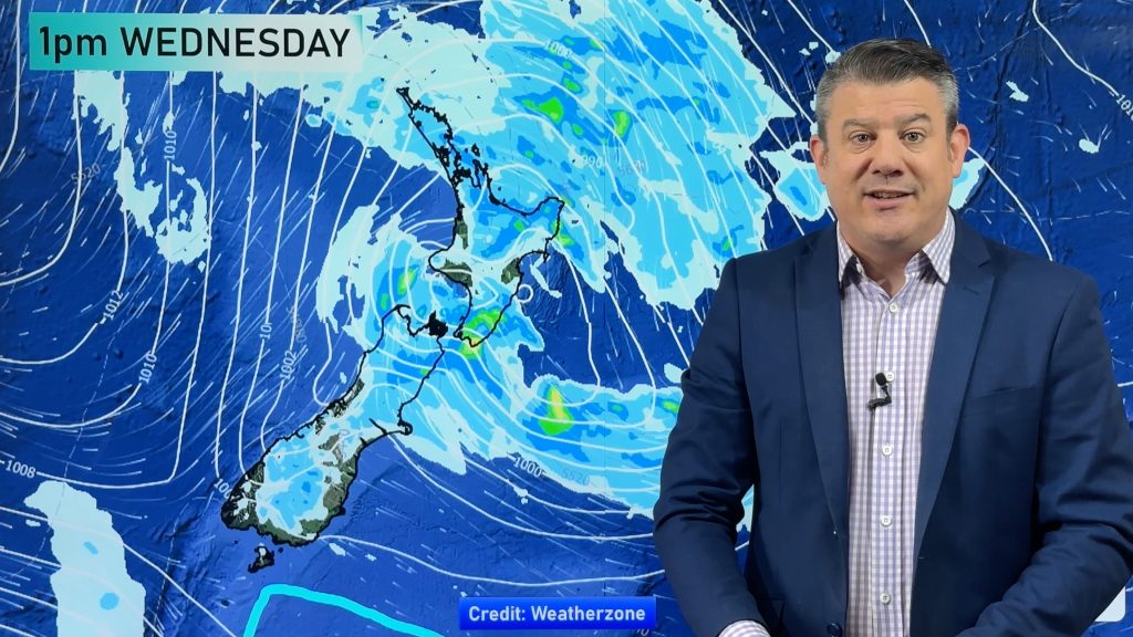
The front is patchy and will bring a mixture of drizzly light rain and some more moderately heavier falls (wettest weather on the western side) – and dry areas too.
Rainfall looks good for some western areas in need of rain… totals do vary though, so please check your local WeatherWatch or RuralWeather estimates (they update hourly and get more accurate as the rain moves closer) and track on rain radar. The further inland and to the east you are the lower the totals will be. If the front stalls (always possible) then rainfall totals may increase.
At this stage 10 to 30mm is likely in most western areas, but only 1 to 15mm in the east. Out rainfall forecasts update hourly – if the front is patchy/bit hit and miss then totals can change.
*Don’t forget to watch our new Friday “RainWatch” video – taking a closer look at not only the weekend rainfall, but rain coming up for the rest of February and the first day of March.
Additional Weather Maps most helpful at the moment are…

Track on Rain Radar if rain matters to you today.

- WeatherWatch.co.nz / RuralWeather.co.nz / New App
Comments
Before you add a new comment, take note this story was published on 24 Feb 2024.


Add new comment