Wednesday’s weather headlines (x3): Settled then front, Southerlies strong Friday, Weekend low in the Tasman Sea
29/03/2022 6:00pm

> From the WeatherWatch archives
Here’s what is making the weather headlines today.
MAINLY SETTLED TODAY AND MOST OF THURSDAY
Conditions for New Zealand are mainly settled today and for most of the Thursday thanks to high pressure covering the country. We have showers for the eastern North Island though, clearing Wairarapa this evening then further north on Thursday. Elsewhere is mainly dry with areas of low cloud or fog morning and night, sunny spells by day.
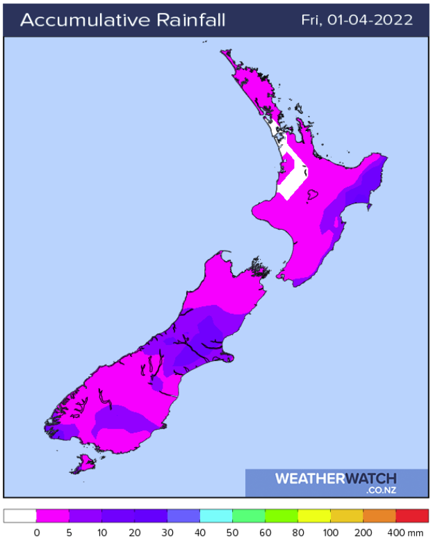
Then finally we have a cold front push onto the lower South Island late afternoon or evening or Thursday bringing rain or showers, showers / rain pushes up into Canterbury overnight. Totals are as follows for this cold front:
Invercargill – 3 to 5mm
Tuatapere – 5 to 10mm
Alexandra – 1 to 3mm
Dunedin – 1 to 3mm
Timaru – 1 to 3mm
Methven – 5 to 10mm
Rakaia – 3 to 5mm
Christchurch – 1 to 3mm
Kaikoura – 5 to 10mm

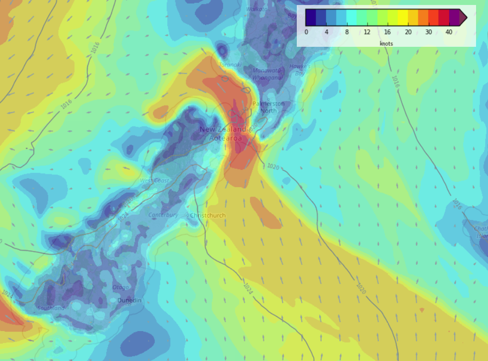
SOUTHERLY QUARTER WINDS BRISK TO STRONG ON FRIDAY
Southerly quarter winds for the east of the South Island are brisk to strong about the coast first thing in the morning on Friday before easing. Strong southerlies develop through Cook Strait in the morning, gusting to gale at times then easing at night.

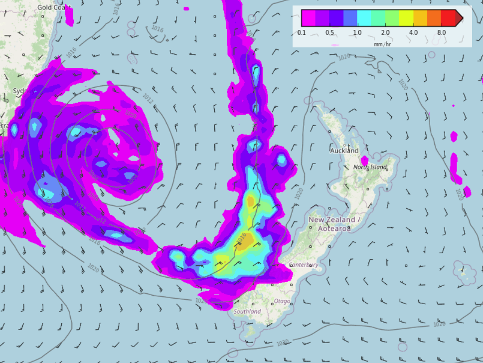
WEEKEND LOW IN THE TASMAN SEA
This weekend we have a low pressure system in the Tasman Sea, a front flinging out from the low pushes in to the western side of the country, at this stage mainly the West Coast of the South Island bringing some wet weather. Some models show rain or showers being more widespread, this is something we’ll have to track as we get closer to the weekend.

Comments
Before you add a new comment, take note this story was published on 29 Mar 2022.


Add new comment