Wednesday’s News: Cold start in the south – Warm upper North Island – Heavy rain West Coast, Saturday
28/11/2023 6:00pm

> From the WeatherWatch archives
Here’s what is making the weather headlines today…..
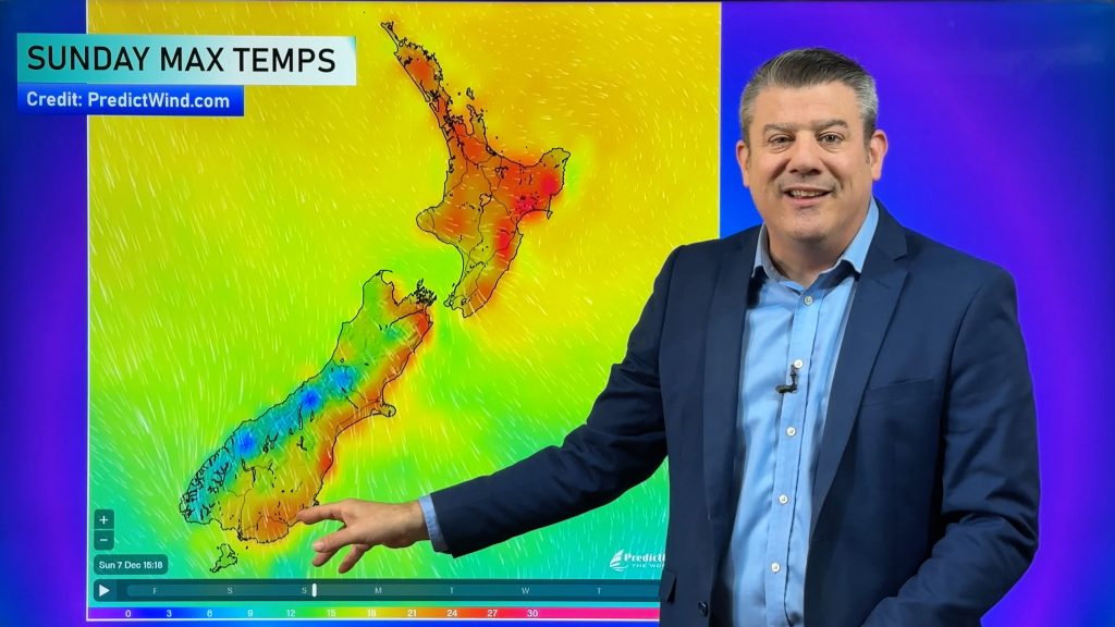
COLD START IN THE SOUTH
Temperatures this morning for inland parts of the lower South Island are a little cold, while the chart below says there is a frost risk this might be a bit of a stretch. Temperatures may be more around 2 or 3 degrees at their coldest then will progressively lift.
Cold none the less!

WARMEST UPPER NORTH ISLAND
Temperatures today are not all that warm, eastern regions will be in the mid to late teens where as yesterday we had highs in the mid to late twenties!
The upper North Island remains respectable though with afternoon highs in the low twenties.

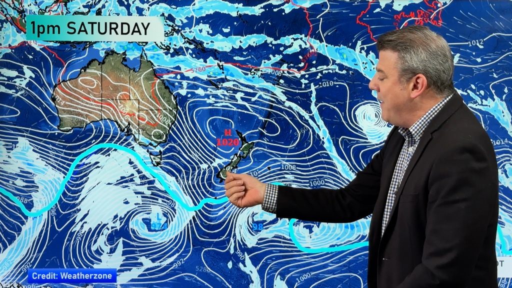
HEAVY RAIN WEST COAST – SATURDAY
The next lot of heavy rain to move in will be for the West Coast this weekend, Saturday to be more exact.
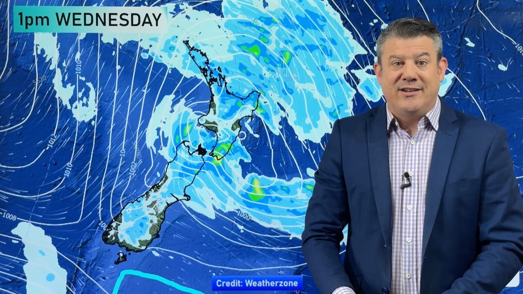
Rain spreads north on Sunday with a few showers eventually pushing north in the east too.

MSLP / Rain map – Saturday 2nd December 2023 10:00pm – GFS Weatherzone.com.au 
MSLP / Rain map – Sunday 3rd December 2023 4:00pm – GFS Weatherzone.com.au
Comments
Before you add a new comment, take note this story was published on 28 Nov 2023.


Add new comment