Wednesday’s national forecast – Very heavy rain NW South Island
16/08/2022 12:00pm

> From the WeatherWatch archives
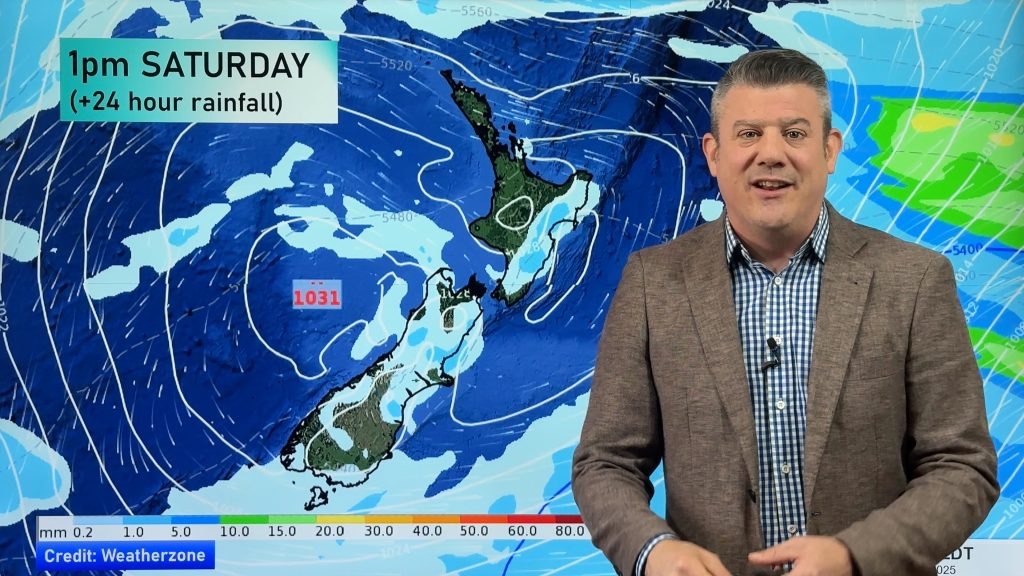
A front feeds into the South Island today especially the northwest corner bringing very heavy rain, drier conditions in the east. The North Island is under a northeasterly airflow with patchy rain or drizzle for most about from Napier northwards in the east.
Northland, Auckland, Waikato & Bay Of Plenty
Mostly cloudy with patchy rain or drizzle. Rain becomes more persistent for Northland from evening then spreading elsewhere overnight. Blustery or strong northeasterlies.
Highs: 16-18
Western North Island (including Central North Island)
Mostly cloudy with some rain, especially about Taranaki and Kapiti. Northeasterly winds, strong to gale force about Taranaki.
Highs: 13-18
Eastern North Island
Mostly cloudy, a few spots of rain, mainly about Wairarapa. North to northeasterly winds.
Highs: 17-19
Wellington
Rain, gusty northerlies, strong through Cook Strait.
Highs: 16-17
Marlborough & Nelson
Rain with heavy falls, especially for Nelson. Gusty north to northeasterly winds, gales about the Sounds and Golden Bay.
Highs: 14-16
Canterbury
Mostly cloudy, spots of rain possible. Rain in the high country with heavy falls possible, especially closer to the Main Divide. During the evening rain becomes more widespread south of Banks Peninsula. Northeasterly winds, strong about the Kaikoura coast.
Highs: 12-18
West Coast
Rain with heavy falls, rain about Fiordland not as heavy as further north. Breezy northeasterly winds.
Highs: 14-16
Southland & Otago
Morning sunny spells possible otherwise mostly cloudy, a few spits about the Lakes District. Rain becoming more widespread during the evening. Light winds.
Highs: 13-15
Comments
Before you add a new comment, take note this story was published on 16 Aug 2022.


Add new comment