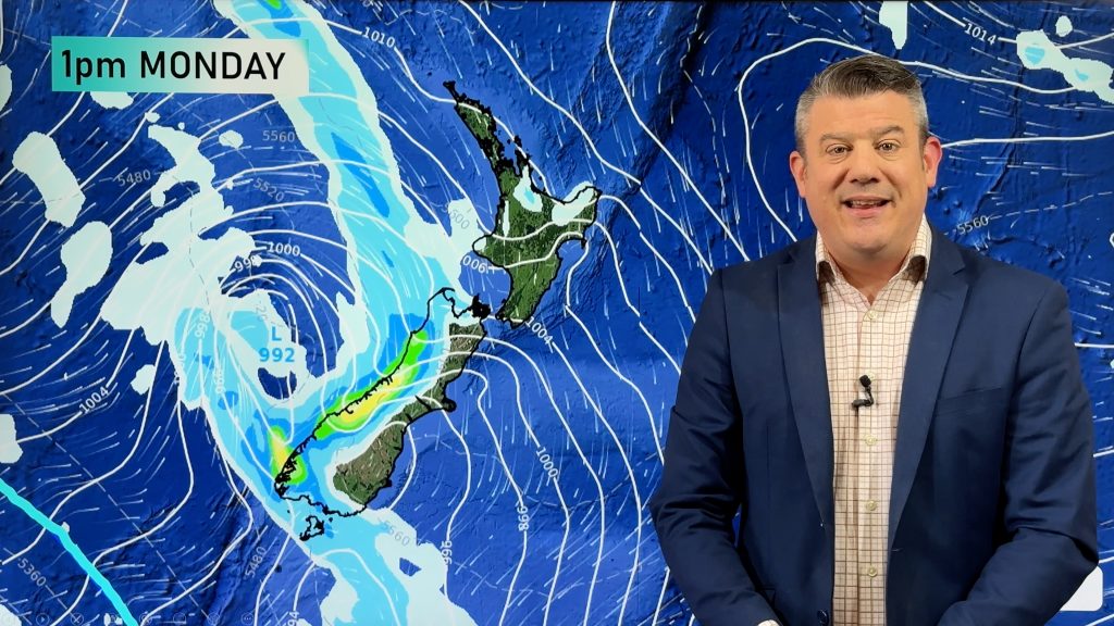
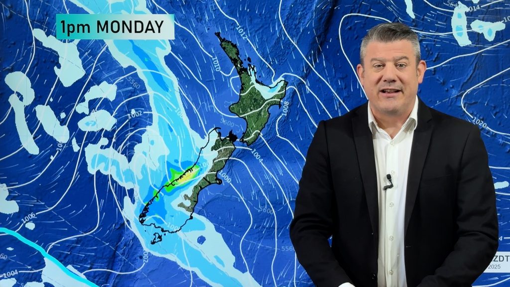
Wednesday’s national forecast – Southerly airflow
20/09/2022 12:00pm

> From the WeatherWatch archives
Rain or showers for most regions today with southerlies for the South Island gradually speading northwards, perhaps a few thunderstorms for the western North Island this afternoon. Fiordland and South Westland are dry.
Northland, Auckland, Waikato & Bay Of Plenty
Showers, perhaps an isolated heavy fall and thunderstorm then easing from afternoon with sunny spells breaking through, showers clearing in the evening as northwesterlies tend southwest. Some heavy morning rain for eastern Bay Of Plenty eases.
Highs: 17-19
Western North Island (including Central North Island)
Showers, becoming heavy in the afternoon with isolated thunderstorms as light winds tend southeast, easing in the evening.
Highs: 14-18
Eastern North Island
Rain north of Napier, heavy in the ranges then clearing around midday, sun may even break through. The odd shower further south, rain develops in the afternoon as southwesterlies freshen. About Hawkes Bay rain may be heavy with thunderstorms, rain eases in the evening.
Highs: 17-19
Wellington
Mostly cloudy, a few showers from late morning as winds tend to the south. Some rain may develop inland about the ranges, easing evening.
Highs: 14-17
Marlborough & Nelson
Thickening cloud, rain develops about Nelson around midday then spreads into Marlborough during the afternoon, easing at night. Southeasterly winds, afternoon northerlies for Nelson.
Highs: 14-16
Canterbury
Cloudy with some rain, more widespread in the afternoon, clearing overnight. Southwesterly winds.
Highs: 12-14
West Coast
A mix of sun and cloud for Fiordland, a few showers north of Haast, clearing in the evening. For the ranges of Buller showers may become heavy in the afternoon. Southerly quarter winds.
Highs: 16
Southland & Otago
Cloudy periods with a shower or two, becoming dry in the evening for all with cloud breaking away. Light winds tend to the south.
Highs: 12-14
Comments
Before you add a new comment, take note this story was published on 20 Sep 2022.


Add new comment