Wednesday’s national forecast – A mixed bag (+10 maps)
26/10/2021 3:00pm

> From the WeatherWatch archives
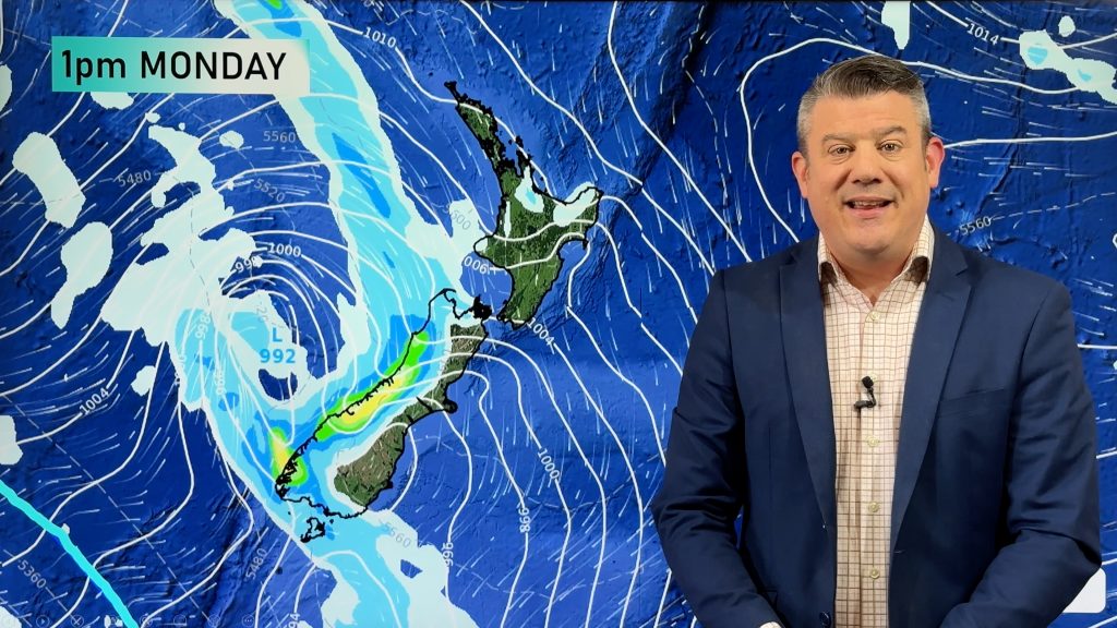
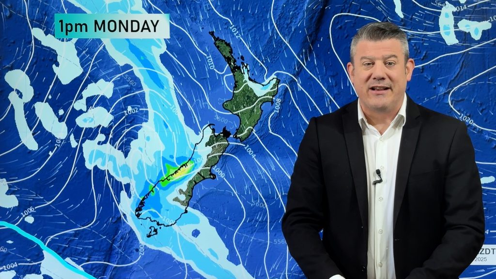
A broad area of low pressure lies in the Tasman Sea today and there is a high out to our east in the Pacific, New Zealand is stuck in the middle under a slack pressure gradient.
Please refer to your local, hourly, 10 day forecast for more details.
Northland, Auckland, Waikato & Bay Of Plenty
Mostly cloudy, a few showers about mainly afternoon and evening. Northland has a mainly dry day. Light north to northeasterly winds.
Highs: 19-23
Western North Island (including Central North Island)
Cloudy areas and light showers or drizzle, some rain possible for northern Taranaki from this afternoon. North to northwesterly winds.
Highs: 18-21
Eastern North Island
High cloud, some sun at times. A few spits late afternoon or evening for Hawkes Bay and northern Wairarapa. Light northerly quarter winds may tend easterly in the afternoon for Hawkes Bay.
Highs: 21-26
Wellington
Morning drizzle, mostly cloudy with breezy north to northwesterly winds.
Highs: 17-20
Marlborough & Nelson
High cloud, some sun may break through at times. Light northwesterlies.
Highs: 19-23
Canterbury
Morning cloud then afternoon sun Banks Peninsula southwards, cloud may thicken up again late afternoon or evening bringing the risk of an isolated shower inland about the foothills. A mostly sunny day north of Banks Peninsula with some high cloud. Light southwesterlies tend to the east after midday.
Highs: 18-22
West Coast
Mostly cloudy for South Westland with occasional showers. North Westland has morning cloud then afternoon sun (perhaps a few afternoon showers inland about the ranges). North to northeasterly winds.
Highs: 17-21
Southland & Otago
Early cloud breaks to some sun, cloud starts thickening up again from midday. Isolated showers develops this afternoon, some may even become heavy in spots, especially inland just away from the coast in the east. Light winds.
Highs: 17-22
WeatherWatch.co.nz is proud to be setting the international standard for forecasting in NZ – powered by IBM


Comments
Before you add a new comment, take note this story was published on 26 Oct 2021.


Add new comment