> From the WeatherWatch archives
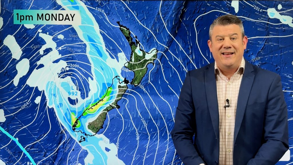
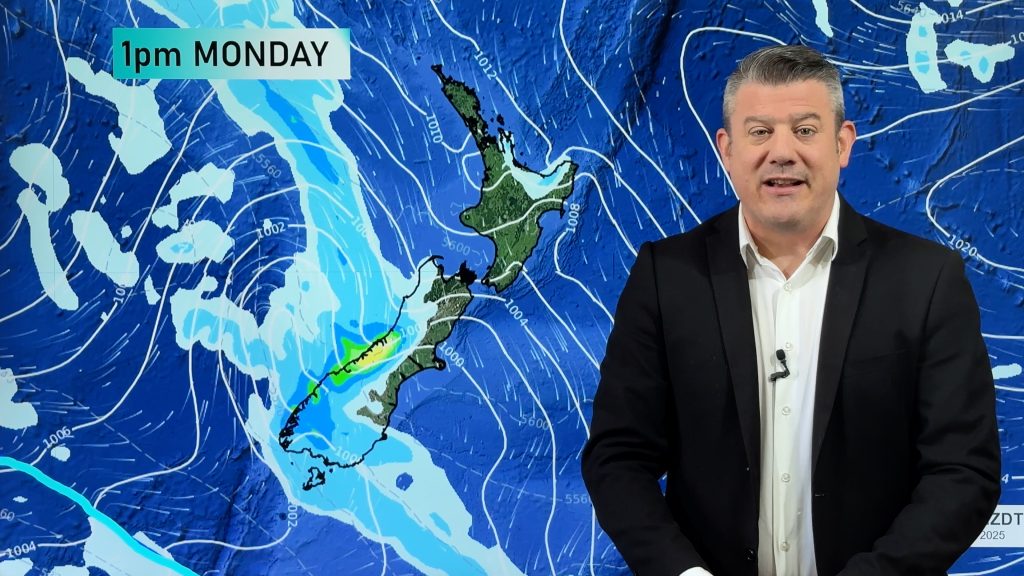
A front pushes northwards over the South Island during Wednesday then onto the North Island overnight, preceding the front is a strong northwesterly airflow then changing cold southwest in behind.
Northland, Auckland, Waikato & Bay Of Plenty
Sunny spells and increasing cloud, cloud thickens and lower from late afternoon at which point there may be a light shower or two. Rain moves in overnight. Northwesterly winds.
Highs: 17-19
Western North Island (including Central North Island)
Mostly cloudy, chance of a spit or two. Later in the evening rain moves in with heavy falls possible before easing overnight, breezy northwesterlies change southwest overnight.
Highs: 14-17
Eastern North Island
Mostly sunny with increasing high cloud, rain moves into the Wairarapa later in the evening then pushes northwards overnight. Increasing northwesterlies then changing southwest overnight.
High: 18-21
Wellington
Cloudy, the odd shower from midday then late evening rain. Strong northwesterly winds gusting to gale at times then changing southerly overnight.
High: 16
Marlborough & Nelson
Thick high cloud, north to northwesterly winds becoming gusty around midday. Some rain for Nelson in the evening then clearing overnight, only a few spots spread into Marlborough in the evening. Later in the evening or overnight a southwest change brings showers for Marlborough.
Highs: 18-19
Canterbury
High cloud with northwesterly winds, strong about inland areas where winds may gust to gale. During the afternoon a southwest change moves through bringing showers then some rain which clears overnight then becoming frosty.
Highs: 18-20
West Coast
A band of heavy rain about South Westland spreads into North Westland by midday, heavy rain likely to last for a period of 3 to 4 hours then easing to showers as gusty northwesterly winds change southwest.
Highs: 14-15
Southland & Otago
Morning rain then easing to showers which clear later in the evening or overnight, westerlies tend cold southwest around midday. There may be some snow lower to 600m for a brief time in the evening before clearing however not much if any will settle to that level.
Highs: 11-13
By Weather Analyst Aaron Wilkinson – WeatherWatch.co.nz
Comments
Before you add a new comment, take note this story was published on 2 May 2017.


Add new comment