> From the WeatherWatch archives
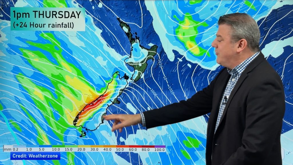
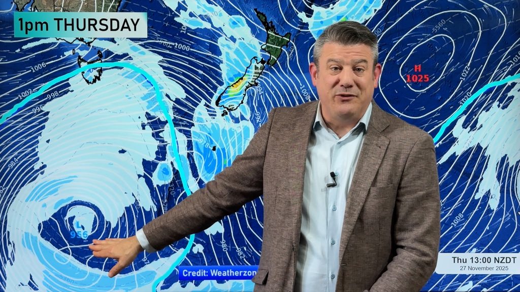
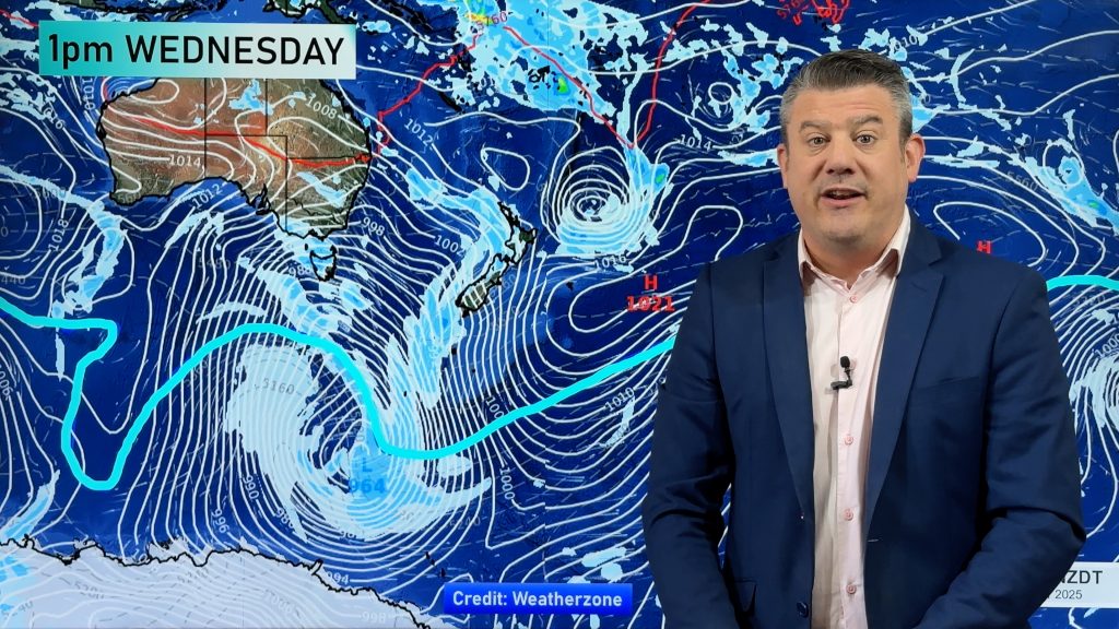
A strong north to northeasterly airflow lies over New Zealand today. A front slowly moves in from the west curling into a low sitting over the lower South Island. Rain in the west will likely be heavy while out east while there will be rain at times for most regions it should be a little tamer in comparison.
Northland, Auckland, Waikato & Bay Of Plenty
Cloudy with showers, rain at times about the Waikato and Bay Of Plenty from afternoon. Widespread rain moves in this evening possibly heavy overnight Auckland southwards. Brisk Nor’East winds.
High: 24-25
Western North Island (including Central North Island)
Cloudy with rain pushing into Taranaki during the morning then further southwards and westwards during the afternoon / evening. Rain (with possible thunderstorms) becomes heavy about Taranaki later in the day then elsewhere overnight. Breezy to brisk northeasterly winds, becoming strong about Taranaki from afternoon.
Highs: 20-27
Eastern North Island
Thick high cloud with spells of rain from evening. Breezy north to northeasterly winds.
Highs: 25-26
Wellington
Cloudy with the odd spot of rain possible, rain more likely from evening. Breezy Northerly winds.
High: 23
Marlborough & Nelson
Cloudy with spots / spells of rain, becoming heavier this afternoon and evening especially about Nelson then clearing overnight. Winds brisk from the north all day.
Highs: 21-23
Canterbury
Thick high cloud, the odd spot of rain. Northeasterly winds becoming brisk. Out on Banks Peninsula northeasterly winds will become strong from afternoon with a risk of gales.
High: 25
West Coast
Rain with heavy falls, thunderstorms too. Winds brisk from the north or northeast.
Highs: 21-22
Southland & Otago
Rain develops during the morning about Southland, not till around midday for Otago although parts of North Otago on the coast may remain dry. Chance of the odd heavy fall then rain clears overnight. Light winds for most although expect breezy northeasterlies about coastal Otago.
Highs: 20-23
By Weather Analyst Aaron Wilkinson – WeatherWatch.co.nz
Comments
Before you add a new comment, take note this story was published on 16 Feb 2016.


Add new comment