> From the WeatherWatch archives
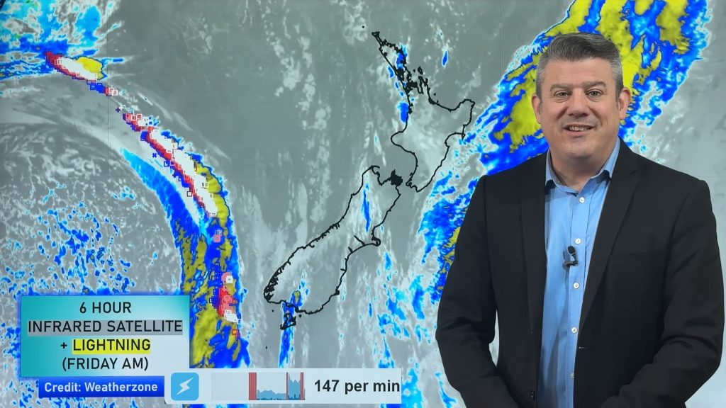
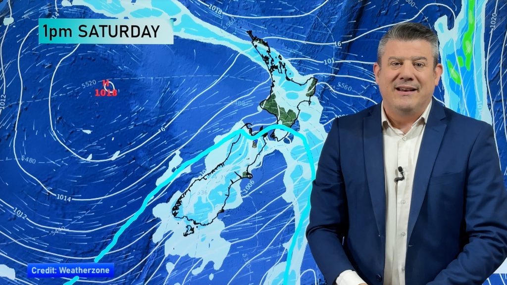
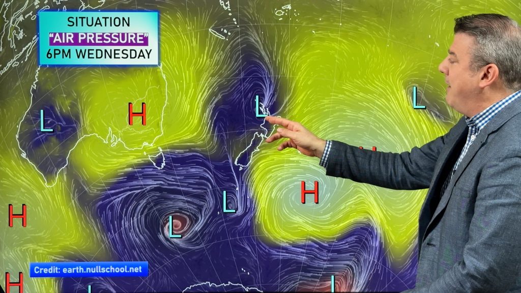
A northeasterly airflow continues across the country today strong about the upper North Island with gales in exposed areas. Areas of precipitation affect the North Island north of about Lake Taupo with heavy falls easing in Northland early this morning. Some drizzle affects the east coast of the North Island and the east of the South Island.
Northland
Heavy early morning rain eases with periods of rain for the rest of the day, strong easterly winds with gales in exposed areas (especially about the east coast).
Highs: 16-17
Auckland
Strong easterlies gale force in exposed areas. Periods of rain, patchy
light falls too.
light falls too.
Highs: 15-16
Bay Of Plenty
Occasional showers with strong easterly winds, dry spells possible about
eastern areas of the district with slightly weaker winds.
eastern areas of the district with slightly weaker winds.
Highs: 15
Waikato & Central North Island
Cloudy with brisk to strong easterlies, occasional showers, mostly about
the Waikato.
the Waikato.
Highs: 13-14
Eastern North Island
Drizzle patches with brisk easterly winds.
Highs: 14-15
Western North Island
Thick high cloud with brisk easterly winds, there may be a clearing morning
shower about northern Taranaki.
shower about northern Taranaki.
High: 14
Wellington
Plenty of high cloud, breezy easterlies.
High: 13
Nelson
Cloudy with east to southeast winds.
Highs: 13-14
Marlborough
Cloudy with easterly winds, chance of a drizzle patch mainly in the
morning.
morning.
Highs: 13-14
Canterbury
Cloudy with the odd drizzle patch (mainly coastal and north of Banks
Peninsula), northeasterly winds.
Peninsula), northeasterly winds.
High: 11
West Coast
Thick high cloud, easterly winds. Overnight drizzle about South
Westland.
Westland.
High: 14
Coastal Otago
Mostly cloudy with breezy northeasterlies.
Highs: 10-11
Central Otago
Plenty of high cloud with light northeasterlies.
Highs: 8-9
Southland
Plenty of high cloud with light northeasterlies.
High: 10
By Weather Analyst Aaron Wilkinson – WeatherWatch.co.nz
Comments
Before you add a new comment, take note this story was published on 8 Jul 2014.


Add new comment