Wednesday’s Headlines: Unsettled North Island, late Cold front far south, Rain outlook (+14 day animation)
25/07/2023 10:45pm

> From the WeatherWatch archives
Here’s what is making the weather headlines today….
UNSETTLED – NORTH ISLAND
There is some heavy rain about the lower and eastern North Island today but it will start to ease from the south this morning, easing lastly north of Napier in the evening.
Snow falls to 700m but may fall to 600m in areas.
Very strong south to southwesterly winds for much of the North Island with coastal gales, starting to ease from the south afternoon onwards.
Metservice have various watches and warnings out, you can see them here.

COLD FRONT FAR SOUTH LATER ON
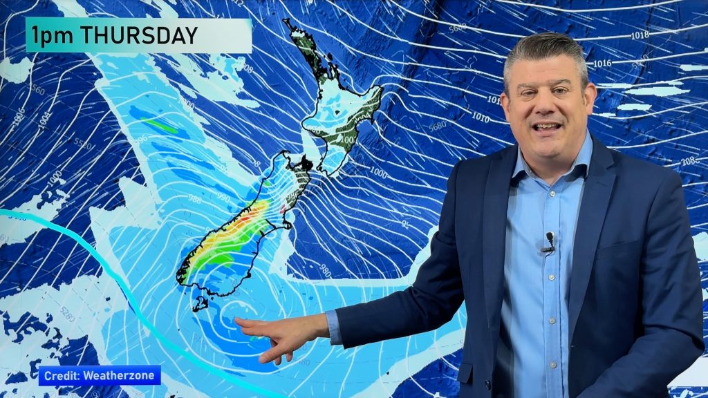
A cold front is still due to move into the far south later this evening or around midnight then reaching the upper North Island midday Thursday.
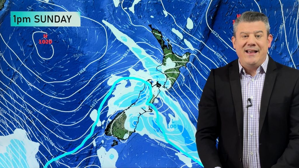
The outlook is still looking similar as to yesterday’s article. Rain with a chance of thunder in the west as this front moves northwards then we have a trough in behind bringing rain to the far south early Thursday morning, rain reaching into North Canterbury up through to Wellington / Wairarapa later in the evening on Thursday and overnight into Friday.
Snow is likely for the ranges again, as low as 300m about the far south early Thursday, heavy snow possible there. Snow lowers to around 700 to 600m for the lower and eastern North Island overnight Thursday into Friday.
More details in Philip Duncan’s video around midday.

MSLP / Rain map – Thursday 27th July 2023 12:00am – GFS Weatherzone.com.au 
MSLP / Rain map – Friday 28th July 2023 3:00am – GFS Weatherzone.com.au
RAIN OUTLOOK – NEXT SEVEN DAYS
The precipitation percentage of normal map below shows that the West Coast and Wellington / southern Wairarapa is looking to have a higher amount of rain over the next seven days than would normally be expected at this time of year.
Regions in the northeast and North Otago / Canterbury are generally drier than normal which makes sense due to the airflow predominately coming in from the westerly quarter.
The map below runs from today through to Wednesday 2nd August. Blue coloring means that part of the country is likely to see more rainfall than would normally be expected at this time of year, red means less rainfall is expected and white is an average amount of rainfall. The more intense either red or blue then either scenario is more true.

Comments
Before you add a new comment, take note this story was published on 25 Jul 2023.


Add new comment