Wednesday’s Headlines: Second bout of rain stays off Eastern SI, Latest snow map, is a High still in the distance?
27/06/2023 7:00pm

> From the WeatherWatch archives
Here’s what is making the weather headlines today….
SECOND ROUND OF RAIN FOR THE EASTERN SI STAYS AWAY
A reasonable amount of rain moved into the eastern South Island yesterday evening and overnight, it clears this morning from the north.
A day or two ago in weather models it looked like a second round would move into the eastern South Island later this afternoon or evening, but the most recent updates have kept this rain largely offshore, not a bad thing as more rain isn’t really warranted at the moment. Although…. parts of South Canterbury wouldn’t have minded the wee top up recently with soil moisture levels there a touch lower than the average for this time of year, about the only place around the country at the moment.
Banks Peninsula and the Kaikoura coast perhaps may see a chance of catching some of rain today but it may end up being just a few showers.

Rain yesterday evening (27/06/23 10:05pm) – Metservice.com 
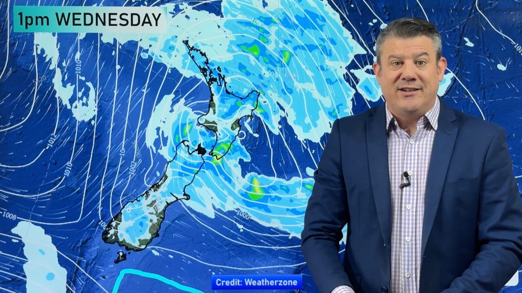
MSLP / Rain map – Wed 28th June 2023 6:00pm – GFS Weatherzone.com.au
SNOW FOR THE CENTRAL NORTH ISLAND COMING
From Friday we start to get some snow falling for the Central Plateau down to about 800 or 900m.
This continues on Saturday then Sunday temperatures drop and so does the snow level, starting out at about 800m in the morning, lowering to 600m in the evening. The precipitation rate goes up on Sunday.
Accumulations this week for Turoa Ski Field are (note these are modeled accumulations at 1962m asl).
Friday: 9cm
Saturday: 7cm
Sunday: 26cm
There may be a few flurries high up in the ski fields today and again on Thursday but it doesn’t account for all that much at this stage, Friday especially later in the day is when we start to get more interesting.
Monday next week although a while away is when conditions start to taper off and ease judging by current GFS guidance, still some snow in the morning perhaps. Mid next week high pressure starts to move in and we settle down.
Going by the map below it is clear the ranges of the South Island are going to be in for some snow also, keep an eye out for our video update later this morning with more information on this from Phil Duncan. Also our twitter account for extra graphics on the snow.

HIGH MID TO LATE NEXT WEEK?
Yes it’s still there in long range modelling, surely we need some settled weather.
If it eventuates it will be frosty though so prepare for that!

Comments
Before you add a new comment, take note this story was published on 27 Jun 2023.


Add new comment