Wednesday’s Headlines: Heavy rain West Coast, Warm in the east, Cold southerly from Sunday June 4th
30/05/2023 7:00pm

> From the WeatherWatch archives
Here’s what is making the weather headlines today….
HEAVY RAIN WEST COAST
Heavy rain pushes northwards along the West Coast today, this has the potential to reach warning criteria as advised by Metservice.
Thursday has a stronger front move north over the South Island with heavier rain likely for the West Coast, perhaps a few thunderstorms also.
Rain watches and warnings from Metservice can be seen here.

WARM IN THE EAST
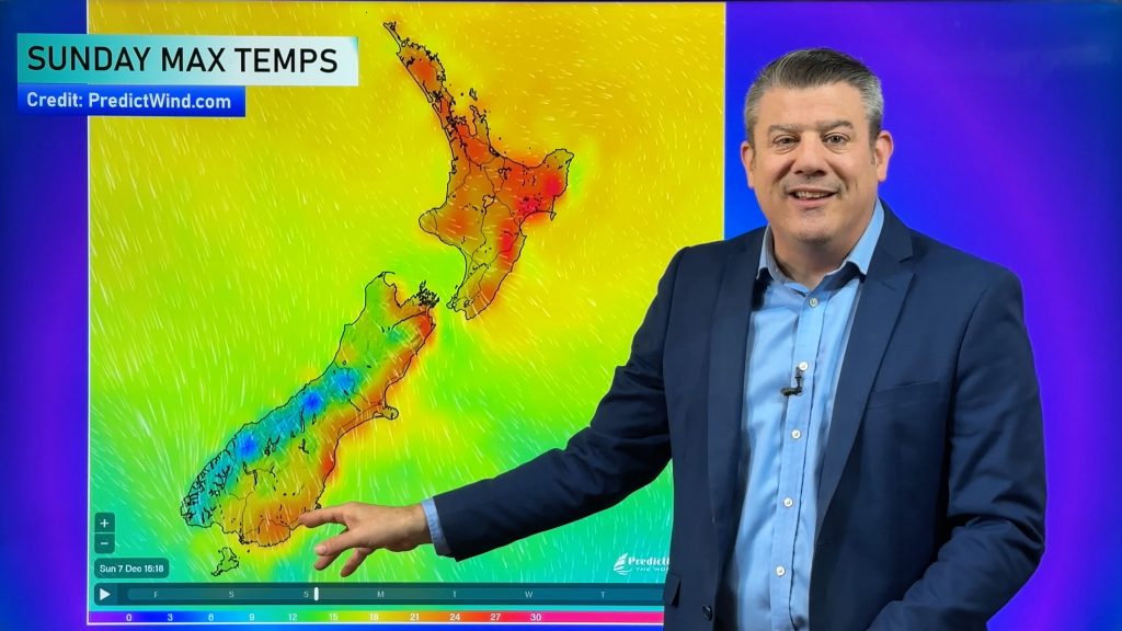
Don’t get me wrong it’s not going to be like a hot summers day, but eastern regions are warm for the time of year today and more so tomorrow thanks to a northwesterly airflow.
High’s will likely be in the mid teens for Otago and Canterbury, late teens for Marlborough today, late teens for the eastern North Island.
Thursday’s temperatures for the eastern South Island crank up into the late teens, the eastern North Island reaches into the early twenties.
COLD SOUTHERLY STARTS FROM SUNDAY JUNE 4TH
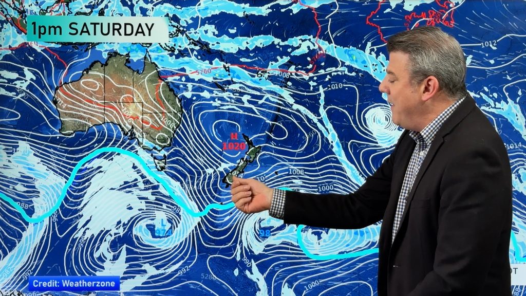
A cold southerly change still looks to develop for the lower South Island this coming Sunday with a high pressure system pushing into the Southern Ocean, its centre over Tasmania.
As we move into Monday the high starts to sneak in under the South Island, this may cut off the coldest air from moving north right over the country.
The lower South Island is still looking to be in for snow down to 400 or maybe even 300m over Sunday / Monday, the upper South Island perhaps down to 600 or 500m for a time. On Tuesday the snow level may lift.
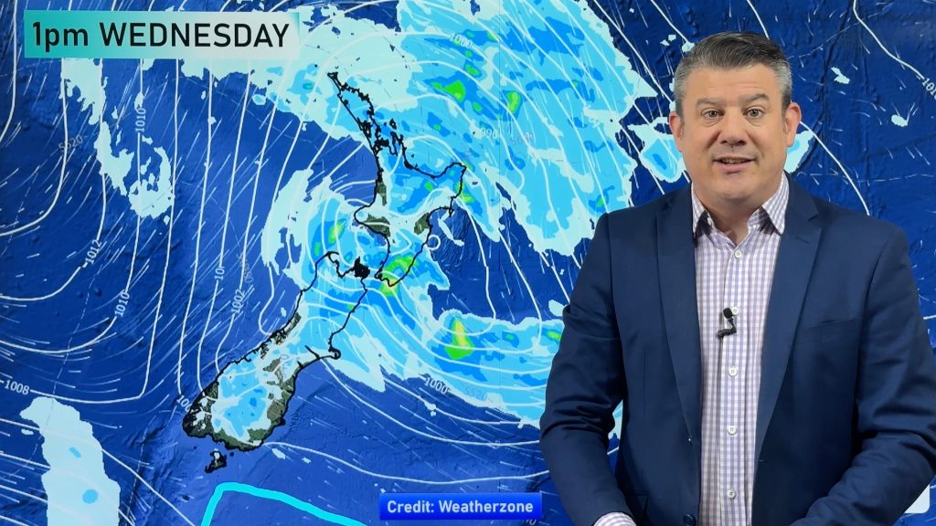
There looks to be plenty of rain moving in from Sunday right through to Wednesday, affecting different parts of the country at different times depending on how a complex low moves through.
Ski fields should hopefully get some good snow to get things cracking.


Comments
Before you add a new comment, take note this story was published on 30 May 2023.


Add new comment