Wednesday Newsfeed: Fast! JASPER is already a Severe Category 3 Tropical Cyclone
6/12/2023 7:52am

> From the WeatherWatch archives
Updated 8:52pm Wed — Tropical Cyclone Jasper is now a Severe Category 3 Cyclone. It was Category 1 this morning, We have the latest tracking map and animation just below.
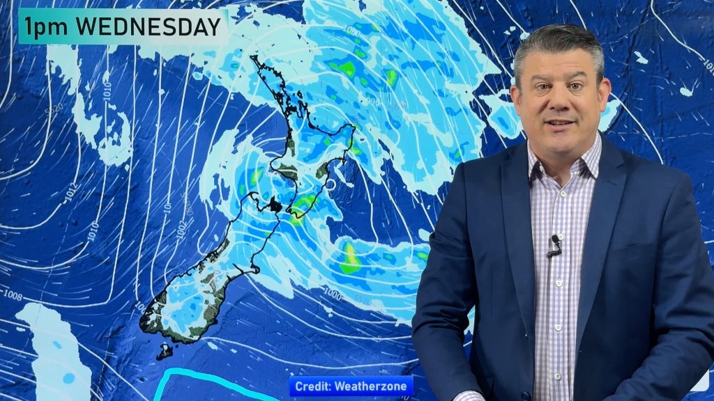
In NZ – Thunderstorms are possible today in both main islands – but they are fairly isolated. See MetService outlooks and warnings/watches below.
Later today a cold front approaches southern NZ – and then falls apart as it tries to move up the South Island on Thursday.
The maps that matter most today are:
- Cumulative Rainfall maps here.
- Live Rain Radar
- MetService Thunderstorm Outlook
- MetService Thunderstorm Warnings
Check your hourly and 10 day forecast at WeatherWatch.co.nz or for more details and event planning visit RuralWeather.co.nz for the most detailed and hyper-local forecasts in NZ.
- We’ll have a special extra video today for the new Tropical Cyclone developing in the Coral Sea.


WeatherWatch.co.nz Newsfeed
Comments
Before you add a new comment, take note this story was published on 6 Dec 2023.


Add new comment