> From the WeatherWatch archives
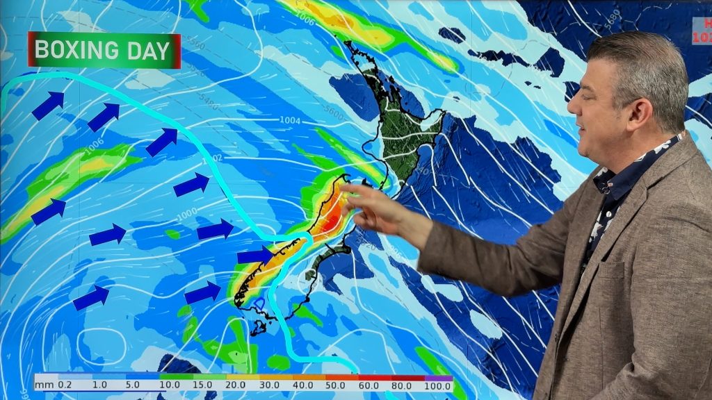
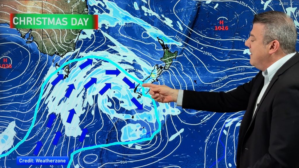
WeatherWatch.co.nz has launched a brand new Maps page which provides New Zealanders with access to accurate high resolution weather data.
The maps, which are created by scientists at MetOcean Solutions Ltd, are a new and innovative way of presenting forecast information. “These maps really bring weather to life” says WeatherWatch.co.nz Head Weather Analyst Philip Duncan. “New Zealanders now have access to fully interactive and colour
weather maps which can tell them where the rain will fall, where the winds will blow, how big the seas will get and what temperature to expect today, tomorrow or anytime over the next two weeks”.
Mr Duncan says the maps extend out for two weeks. He says “While we still can’t 100% predict two weeks in advance we can now at least get a much better picture as to what is happening with lows, highs and storms – finally bringing us in-line with many other nations and that is something we’re very proud to be part of”.
MetOcean Solutions Ltd is a New Zealand company that supplies high resolution ocean and land weather data products to both international and local users. They also run the websites www.weathermap.co.nz and www.swellmap.com.
Their trusted data, produced by state-of-the-art computer modeling techniques, is also supplied to our partners on the farming channel Country99TV (Sky channel 99) and to nzherald.co.nz for their weather videos produced in association with WeatherWatch.co.nz.
WeatherWatch.co.nz says the maps are all free for the public to access.
– WeatherWatch.co.nz
Comments
Before you add a new comment, take note this story was published on 29 Oct 2011.


Add new comment
Mark on 30/10/2011 12:24am
I live in Kaitaia and I can’t see a thing for my town as the whole of the Far North is covered by the temperature/wind/etc gauge. How do I move the gauge so I can see what is happening for my area? (It’s mildly insulting too)
Reply
westcoast on 30/10/2011 6:47pm
you should be able to drag the map background (as its a google map), and even zoom in….
Reply
Chris on 29/10/2011 8:54am
Maps are a great addition, however they don’t display that well on an iPad 🙁
Reply
Ryan on 29/10/2011 7:15am
Thanks for the maps; as a surfer some of those will come in handy.
Reply
Barbara on 29/10/2011 6:41am
I clicked on your maps this morning, to get an idea of the weather today for the northern Coromandel Peninsula, as I was doing a tour up there. It was bang on! Thanks for that. I’ll use your maps again, they seem very precise.
Reply