> From the WeatherWatch archives
Ex-cyclone Cook will spend the next day or two tracking down the country but thankfully it looks to be moving quite quickly. It’s an unusual and very potent storm – but thankfully it’s also quite small in size as it comes in.
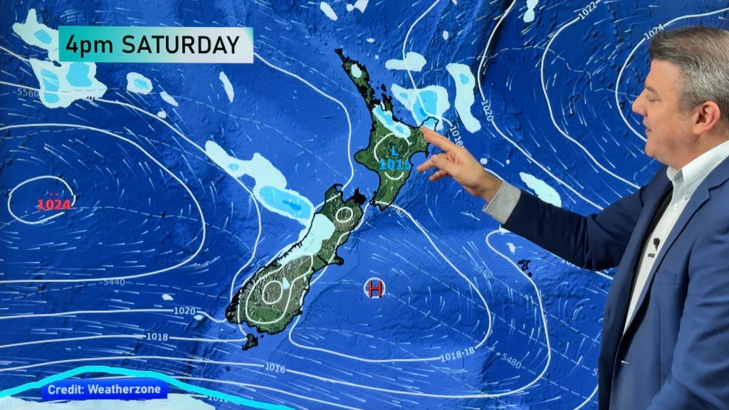
Expect a burst of possibly damaging winds and torrential rains near the centre of the low as it slides south over the North Island later today and tonight.
On Good Friday is slides down the eastern side of the South Island while showers and windy westerlies affect the north (and the sun returns to the east)
See the full Easter Weekend forecast with Philip Duncan…
Comments
Before you add a new comment, take note this story was published on 12 Apr 2017.


Add new comment
Gary on 13/04/2017 3:24am
Hi WW just a quick question – if Cook was still a cyclone what would it currently be rated depending on its current power?
Gaz
Reply
WW Forecast Team on 13/04/2017 3:48am
They measure tropical storm strength via air pressure and wind speeds, this one is a little messy now but probably a Cat 1, maybe Cat 2 storm as a rough guess (bit hard to know what exactly is happening out at sea right now to measure it, but best guess)
Cheers
WW
Reply
Guest on 13/04/2017 12:19am
Thanks WW team for the update and nice work on the opening graphics.
Reply
Guest on 13/04/2017 12:19am
Thanks WW team for the update and nice work on the opening graphics.
Reply
WW Forecast Team on 13/04/2017 1:10am
Thanks a lot! We’re working on further improvements too (especially lighting!) but getting there slowly. The support has been fantastic so thanks so much for taking the time to write to us.
Cheers
Phil.
Reply