Weather Video: Severe weather likely as very deep low crosses NZ
19/07/2017 11:05pm

> From the WeatherWatch archives
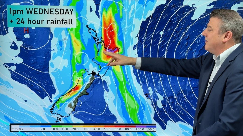
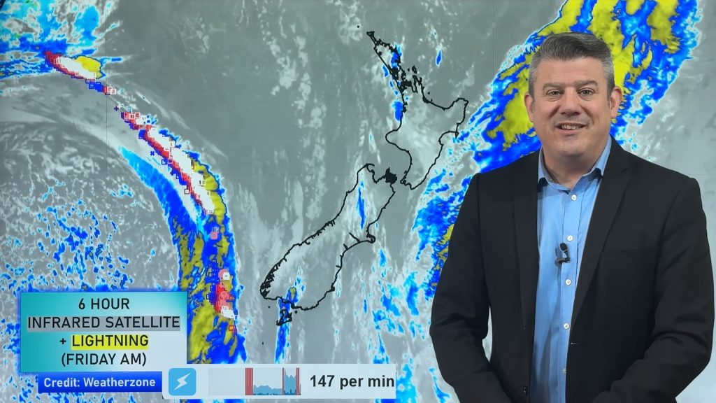
A deepening and very large low pressure system is crossing the country over the next few days bringing sub-tropical heavy rain, gale to severe gale winds for some areas and then heavy snow on the ranges.
Thursday sees heavy rain developing and NW winds in many areas.
By Friday rain will be especially heavy in coastal Otago and southern/central Canterbury. Flooding and slips are possible. As we head through Friday heavy snow on the Alpine passes may also be an issue.
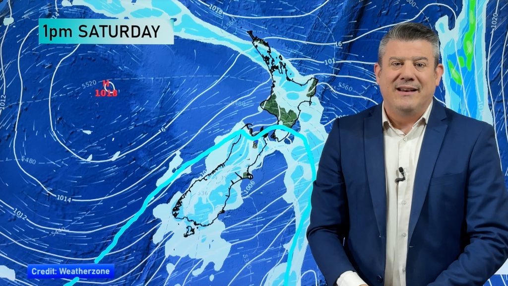
On Saturday rain continues in the east of the South Island and upper North Island, easing as the day goes on.
Sunday looks mainly dry and settled across the country with just a few isolated showers.
Comments
Before you add a new comment, take note this story was published on 19 Jul 2017.


Add new comment
Guest on 20/07/2017 11:35am
When will the wind pick up in chch please and how strong
Reply
WW Forecast Team on 20/07/2017 4:32pm
Hi there
Feel free to use these maps and you can see for yourself what the winds will be up to:
http://www.weatherwatch.co.nz/forecast-maps/wind
Winds don’t really pick up till Saturday morning then peak in the afternoon. Winds about Chch will likely gust to gale in the afternoon then easing in the evening.
Cheers
Aaron
Reply
Anthony on 20/07/2017 4:41am
Very calm weather in Kaitaia. Are gales still coming or has it somehow spared the Far North?
Reply
WW Forecast Team on 20/07/2017 6:04am
Only a ilght northwest breeze about Kaitaia now, west to northwesterly winds pick up a little overnight but no gales. Overnight Friday / early Saturday morning winds may become strong from the northwest for a time.
The windiest period today was prefontal northeasterly winds which eased from mid afternoon, they weren’t all that strong for Kaitaia but would’ve been gustier along eastern coastlines of Northland.
Cheers
Aaron
Reply