> From the WeatherWatch archives
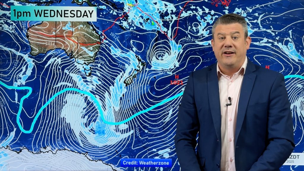
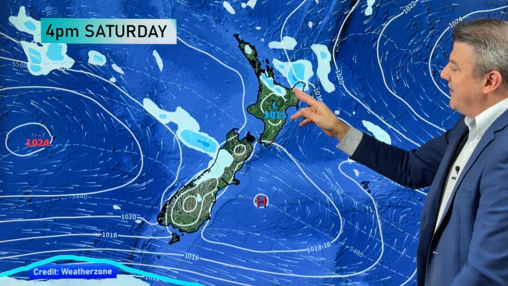
Make the most of the sunny or dry weather you have right now, the rain clouds are returning. The forecast for the next few days sees high pressure transition from the Tasman Sea to the Pacific Ocean, this is then followed by a cold front moving up the country over Saturday followed by another one on Sunday.
The forecast puts the bulk of the rain on the West Coast and then up and over much of the North Island, especially northern and western regions.
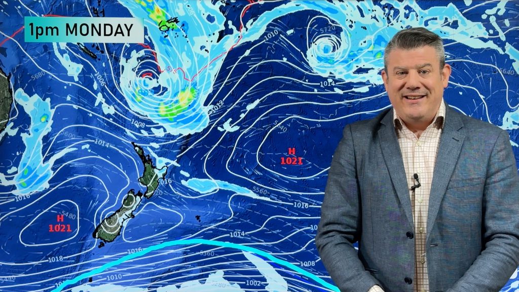
A low may end up developing or crossing the North Island early next week too encouraging more wet weather for northerners but for those in Southland (our only region that needs decent rain) the bulk of the wet weather will be around you, although expect a cold showery change to arrive this weekend after a spell of mild weather.
There may be severe weather warnings issued as a result of this incoming system, but at this stage it’s not a storm – it’s just a traditional sign that Autumn is well and truly here.
– WeatherWatch.co.nz
Comments
Before you add a new comment, take note this story was published on 26 Apr 2017.


Add new comment