> From the WeatherWatch archives
We’ve just been through cold snap number 1 which dropped temperatures in both islands and created frosts through a few inland areas – not quite as dramatic as the over-the-top mainstrem media/MetService made it out to be (as we’re increasingly used to) but still a colder start to the week as we forecast.
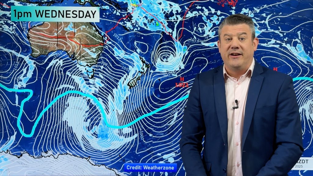
Now we track Cold snap number 2 which moves up the South Island over Wednesday and across all of New Zealand by the end of Thursday.
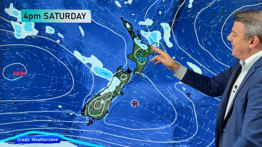
By the time the weekend arrives a high should be coming in, perhaps locking in frosts but also calm weather and milder afternoons.
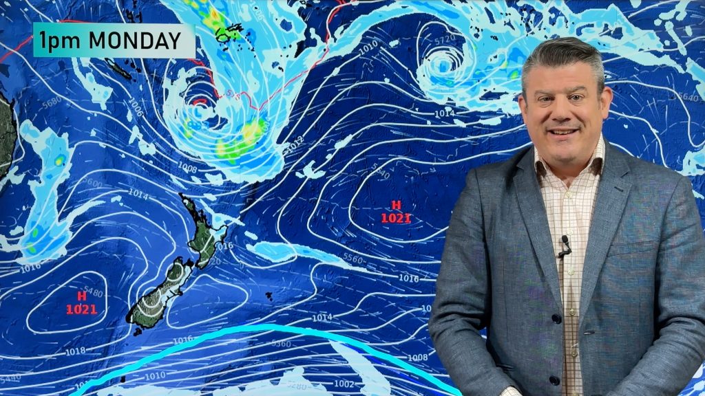
Next week there may be a burst of heavy tropical rain – followed by another weaker cold snap (Cold snap number 3 – just for southern New Zealand – but the third one in just 10 days).
We’ll keep you posted in our week day videos – we have plenty to talk about next week.
Please subscribe to our YouTube Channel to ensure you get our updates first!
Comments
Before you add a new comment, take note this story was published on 2 May 2017.


Add new comment