Weather Video: A week of windy westerlies coming, but so too is more high pressure
3/05/2018 10:42pm

> From the WeatherWatch archives
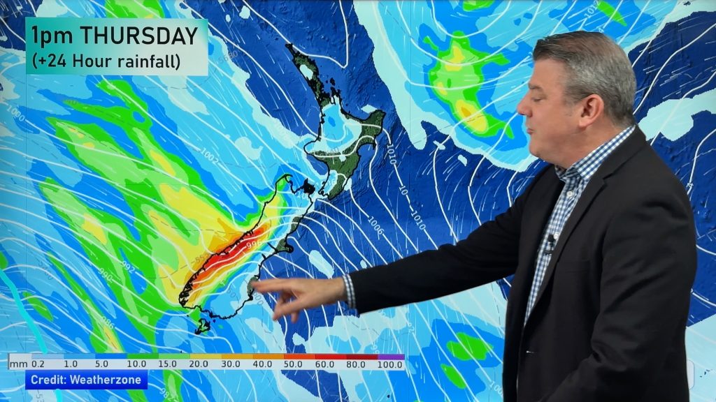
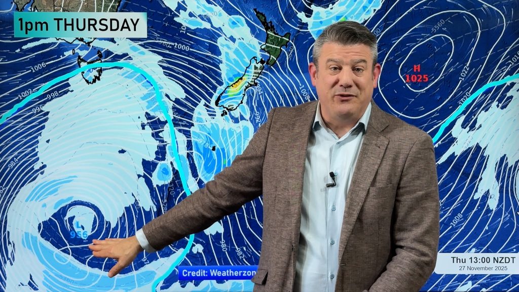
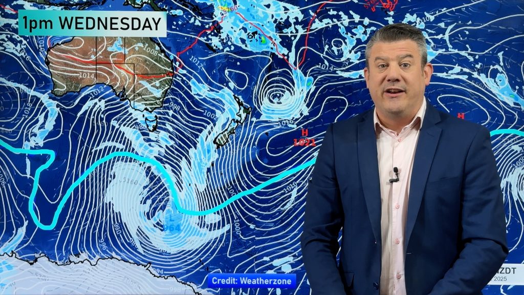
A high that stretches 7000kms across is likely to slink past New Zealand next week just to the north, encouraging more settled mild weather for northerners but revving up a westerly flow over the South Island bringing gales at times.
As the current high lingers over the North Island on Saturday it departs by Sunday as a cold front surges up NZ bringing West Coast rain, then more showers into the North Island.
Another surge of rain and cooler sou’westers moves northwards on Saturday too, mainly affecting the west.
Next week that enormous high will roll in – it may change shape a bit from the maps we see today but either way we do expect this high to bring more calm weather to the north but encourage more windy westerlies from Wellington southwards.
Comments
Before you add a new comment, take note this story was published on 3 May 2018.


Add new comment