Weather headlines (x3) for Wednesday: South Westland the place to be, Thunderstorms – North Island, Low pressure Friday and Saturday
20/09/2022 7:00pm

> From the WeatherWatch archives
Here’s what is making the weather headlines today.
SOUTH WESTLAND THE PLACE TO BE
Fiordland and South Westland are the places to be today, a southerly airflow over the South Island means the Main Divide blocks any wet or cloudy weather moving into the aforementioned regions.
Temperatures will likely get up to about 16 degrees.

THUNDERSTORMS – NORTH ISLAND
Some instability should develop for the North Island today, first this morning for Auckland then a higher chance exists further southwards this afternoon.
The risk for the ranges of Buller and Tasman while still there has subsided.
Keep an eye on today’s thunderstorm chances from Metservice here.

LOW PRESSURE FRIDAY / SATURDAY – NORTH ISLAND
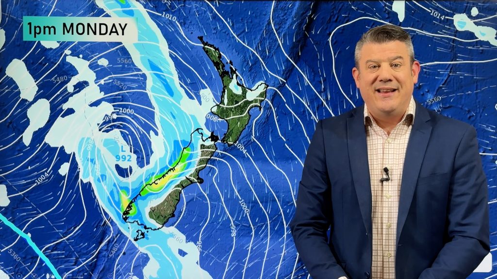
A low pressure system hangs about the North Island for Friday and Saturday. Friday sees a chance of heavy rain Auckland northwards and for the east coast, winds are reasonably gusty from the southeast also.
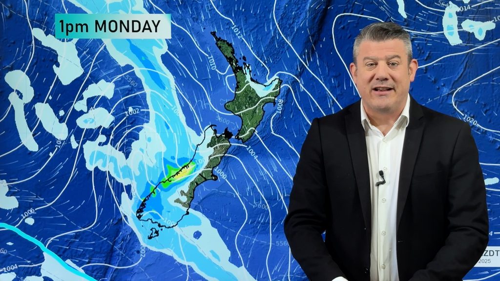
On Saturday the low unravels a bit with winds calming down, there will still be pockets of rain or showers though, perhaps an afternoon unstable fall.

MSLP / Rain map Friday 23rd September 2022 12:00pm – Weatherzone.com.au 
MSLP / Rain map Saturday 24th September 2022 12:00pm – Weatherzone.com.au
Comments
Before you add a new comment, take note this story was published on 20 Sep 2022.


Add new comment