Weather headlines (x3) for Wednesday: Rain in the south, Temperatures today, Rain upper North Island on Friday
6/09/2022 7:00pm

> From the WeatherWatch archives
Here’s what is making the weather headlines today.
FRONT IN THE SOUTH BRINGS RAIN
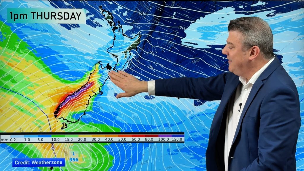
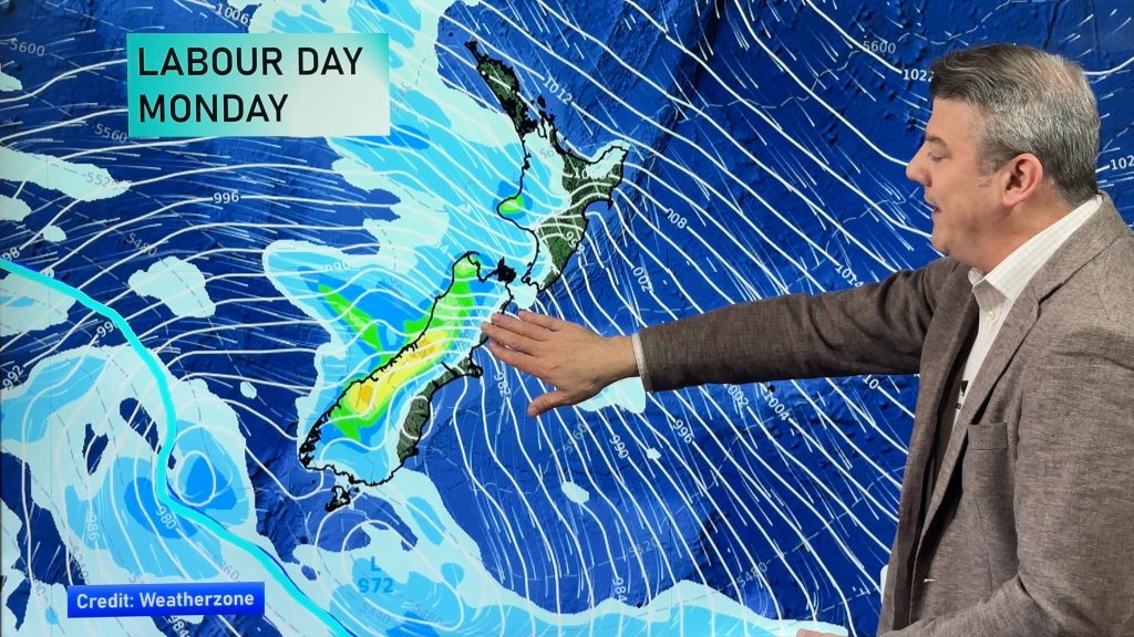
Rain about Southland spreads into Otago this afternoon thanks to a cold front, drying out later this evening or overnight. The rain about the northeastern North Island in the accumulative rainfall map below is from earlier yesterday morning.
Below are some forecast (computer modeled) rainfall figures from ruralweather.co.nz in regards to today’s front.
Invercargill – 9mm
Balfour – 5.6mm
Milton – 3mm
Alexandra – 2.5mm
Queenstown – 3.1mm
Dunedin – 1.7mm

MSLP / Rain map – Wednesday 3:00pm – Weatherzone.com.au 
WARMEST TEMPERATURES
Today’s warmest highs will be about Northland reaching around 16 degrees. The coldest will be between 7 and 10 degrees for Mount Cook through to the Mackenzie Country.
And to top it off this morning is very frosty for many parts around the country.
SOME HEAVY RAIN FOR THE UPPER NORTH ISLAND ON FRIDAY?
There does appear to be the possibility of some rain for the upper North Island on Friday coming in from the northeast and there may be one or two heavy falls.

Comments
Before you add a new comment, take note this story was published on 6 Sep 2022.


Add new comment