Weather headlines (x3) for Tuesday: Heavy rain clears, Snow eases & clears, Frosty start
5/09/2022 7:00pm

> From the WeatherWatch archives
Here’s what is making the weather headlines today.
REMAINING HEAVY RAIN CLEARS AWAY
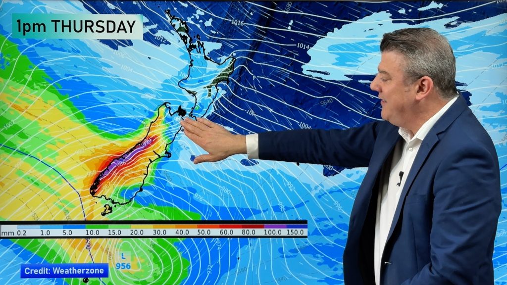
Some heavy rain first thing this morning for northern Hawkes Bay, Gisborne, East Cape and perhaps Bay Of Plenty eases. Rain clears for Bay Of Plenty by midday but showers continue for Hawkes Bay and Gisborne.

MSLP / Rain map – Tuesday 6:00am – Weatherzone.com.au 
MSLP / Rain map – Tuesday 12:00pm – Weatherzone.com.au
SNOW EASES AND CLEARS
Showers Banks Peninsula northwards for Canterbury clear this morning however showers out on Banks Peninsula don’t clear till this afternoon. The air is very cold so a few low level snow flurries are likely (100 to 200m) but these will clear away too.
Southland may have a few flurries to low levels also (100 to 200m) but precipitation rates are quite low so any snow will be insignificant, these flurries will lift and clear as the day moves along.
Finally the eastern North Island and Central Plateau has snow in the ranges to about 500 or 400m, clearing this evening. Snow may be heavy first thing for the ranges of northern Hawkes Bay and Gisborne but this quickly eases.


FROSTY START
Where skies are clear first thing this morning it is likely to be very frosty, this is especially true for the South Island. To be honest anywhere is cold this morning even if it’s not a frost as such. The Central Plateau will likely be below zero too.

Comments
Before you add a new comment, take note this story was published on 5 Sep 2022.


Add new comment