Weather headlines (x3) for Tuesday: Heavy rain in the northeast, Some instability, Temperatures
19/09/2022 7:00pm

> From the WeatherWatch archives
Here’s what is making the weather headlines today.
RAIN HEAVY IN THE NORTHEAST – NORTH ISLAND
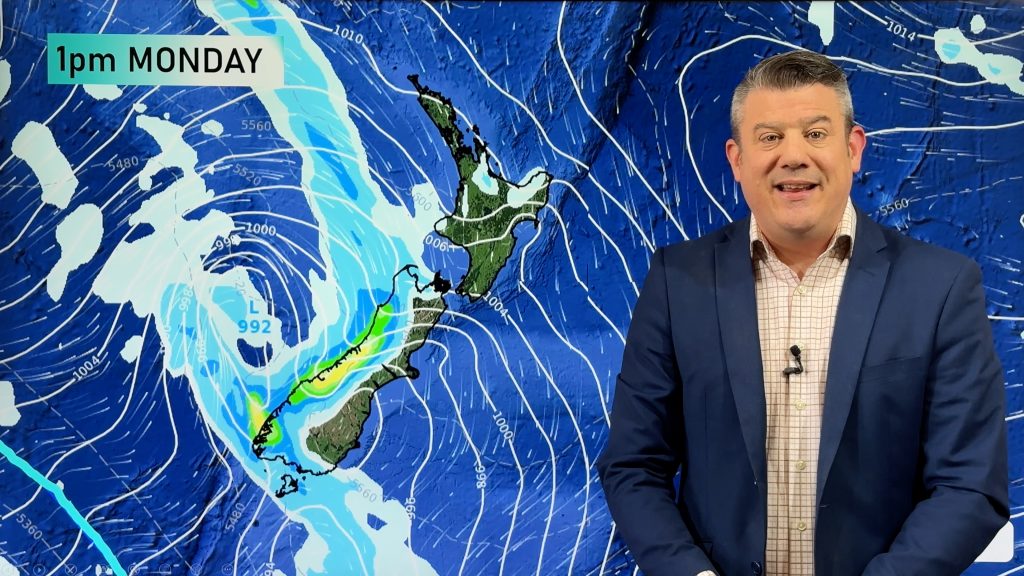
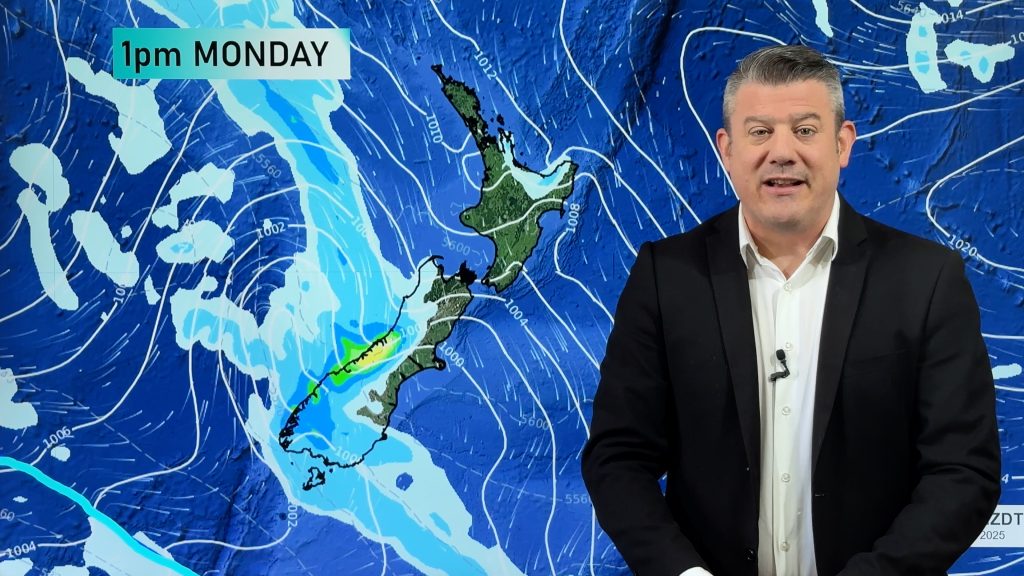
A front feeds into the northeastern side of the North Island today, Northland through to East Cape. Therefore, this part of the North Island is mainly cloudy today with rain or showers. This afternoon rain starts to become heavy for Northland then this evening becoming heavy for Great Barrier Island, Coromandel then eventually Bay Of Plenty especially in the east. Auckland may see some heavy rain this evening also especially in the east.
Metservice have a few watches out, check them out here.

SOME INSTABILITY PERHAPS
About Southland and Otago there is some instability this afternoon and this leads to the chance of an isolated heavy fall or two and perhaps thunderstorms. A slightly lower risk exists up into South Canterbury.
The West Coast could pick up a rumble or two also as a front pushes northwards.
And in addition the North Island has a good chance of storms on Wednesday, and perhaps the ranges of Buller / Tasman / Nelson.
Check out today’s risk charts from Metservice here.

Rain / Thunder map – Tuesday 20th September 2022 3:00pm – ECMWF Windy.com 
Rain / Thunder map – Wednesday 21st September 2022 3:00pm – ECMWF Windy.com
TEMPERATURES WARMING UP
Temperatures are noticeably picking up as we get into spring more, the North Island and eastern South Island has temperatures in the late teens or early twenties today. The South Island is cooler on Wednesday thanks to southerlies but the North Island remains warm away from higher inland ground.
Thursday has warm temperatures mainly for the upper North Island but parts of the West Coast in the South Island reach into the mid teens, this coupled with mainly clear skies and light winds should lead to a nice day.
Comments
Before you add a new comment, take note this story was published on 19 Sep 2022.


Add new comment