Weather headlines (x3) for Thursday: Southerlies move northwards, Frost risk Saturday morning, Wet for the North Island
28/09/2022 6:00pm

> From the WeatherWatch archives
Here’s what is making the weather headlines today.
WARM IN THE EAST, SOUTHERLIES MOVE NORTHWARDS
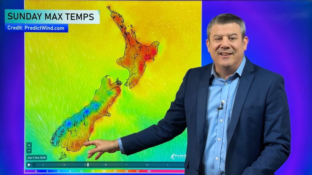
A northerly quarter airflow lies over New Zealand today so temperatures in the east will be warm, reaching into the early twenties.
Rain for Southland and Otago this morning pushes into Canterbury this afternoon with a southwest change, south to southwesterly winds reach the lower North Island around midnight.
There will be some cold air move over the South Island so snow flurries may reach as low as 400m about the far south this evening, overnight to 500m for the ranges of Canterbury, perhaps as low as 400m on Friday morning.
FROST RISK FROM SATURDAY MORNING – SOUTH ISLAND
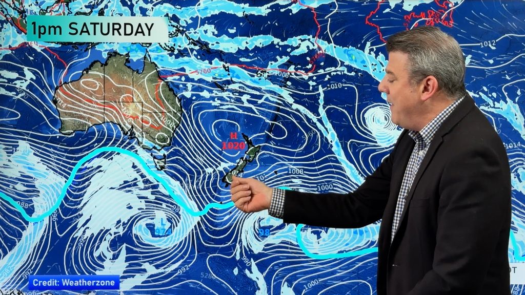
High pressure clears skies up for the South Island overnight Friday and with the recent cold air that would have moved through this means a frost risk for Saturday morning. The frost risk continues on Sunday morning too.
WET FOR THE NORTH ISLAND
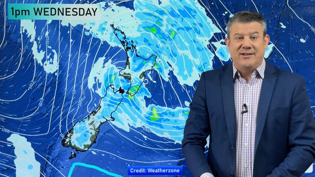
The North Island has a bit of wet weather coming up, there is showers for western regions today and later on rain moves into Wellington then up the east coast overnight. But it is tomorrow that rain is a little more widespread, this becomes persistent for the upper North Island from late afternoon then much of the North Island overnight, tomorrow evening and into Saturday rain may be heavy in the east (Hawkes Bay, Gisborne) and northeast (Coromandel, Bay Of Plenty, East Cape).
Sunday and Monday may see some instability for the upper North Island, so perhaps a few thunderstorms / downpours.
The precipitation percentage of normal map below shows how much of the North Island sees rainfall slightly above average for the next 10 days (28th Sep – 6th Oct), in the northeast especially the rain is heaviest.

Comments
Before you add a new comment, take note this story was published on 28 Sep 2022.


Add new comment