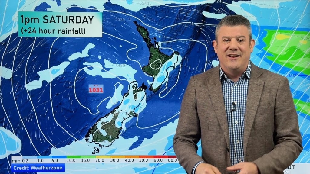
Weather headlines (x3) for Thursday: More heavy rain today, Strong northerly winds, Hitting 20 in the east Friday
17/08/2022 11:11pm

> From the WeatherWatch archives
Here’s what is making the weather headlines today.
MORE HEAVY RAIN TODAY
It’s not secret we have had a lot of rain already for many western parts of New Zealand, the top of the South Island in particular. Today that heavy rain continues and the top of the South Island is in the firing line again.
Keep up to date with today’s weather warnings from Metservice here.

STRONG NORTHERLY QUARTER WINDS
Northeasterlies are strong for the North Island today, especially for coastal areas. The upper North Island in particular sees gale force winds for coastal areas.
Expect strong to gale northerly quarter winds for Golden Bay and through Cook Strait also.

HITTING 20 IN THE EAST TOMORROW
The eastern North Island more specifically, a northerly airflow and warm upper air temperatures induce warm temperatures at the surface. Hawkes Bay and Gisborne will likely hit around 20 or 21 degrees.

Comments
Before you add a new comment, take note this story was published on 17 Aug 2022.


Add new comment
Phil Clements on 17/08/2022 9:25pm
Record overnight August temperatures recorded in .Auckland – but contrast the two extremes between 17th August 2011 and 17th August 2022:
Highest Minimum 15.7 °C at 6:21 p.m. on 17 August 2022
Lowest Maximum 8.1 °C at 1:18 p.m. on 17 August 2011
August 2011 was the year snow fell in Auckland city.
Reply
WW Forecast Team on 17/08/2022 11:13pm
Thanks for that Phil, that’s great to see!! 2011 was a huge high in Tasmania dredging up polar southerlies, 2022 is a huge high east of NZ pulling down tropical air!
– Phil D
Reply