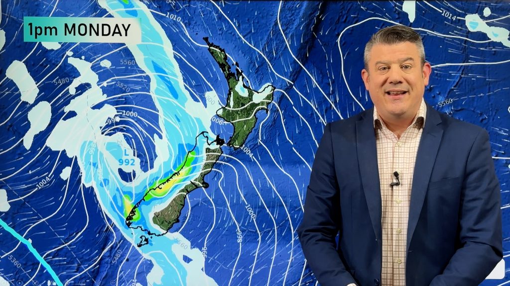
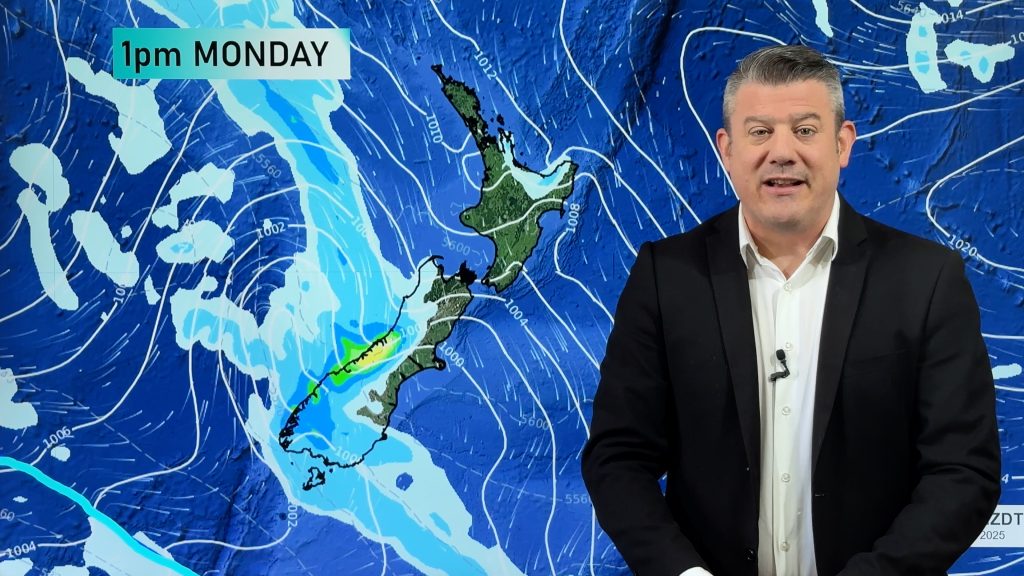
Weather headlines (x3) for Thursday: Heavy rain moving in – North Island, South Island looking settled, Any frosts?
21/09/2022 7:00pm

> From the WeatherWatch archives
Here’s what is making the weather headlines today.
RAIN HEAVY IN THE NORTHEAST LATER TODAY
Later this afternoon or evening heavy rain moves into Coromandel and East Cape, this may spread a little further afield into Auckland and perhaps Hawkes Bay overnight.
Heavy rain Auckland southwards eases on Friday morning but continues in the east.
Rain watches are out from Metservice, check them out here.

MSLP / Rain map Friday 23rd September 2022 12:00am – Weatherzone.com.au 
MSLP / Rain map Friday 23rd September 2022 7:00pm – Weatherzone.com.au
SOUTH ISLAND MAINLY SETTLED FOR A WHILE
The South Island looks to have high pressure in some form today through to this weekend and for much of next week. This means a fairly dry extended period of settled weather. There will be some cloud for the upper South Island during this period especially Friday and this weekend, some drizzle in the east down to Banks Peninsula and perhaps some rain for Marlborough.
The lower South Island and West Coast looks to be in for sunny and dry weather.
This 10 day precipitation percentage of normal map (21st-29th Sep) below clearly shows plenty of red for the South Island, this means dry weather.

ANY FROSTS?
Frosts chances aren’t very high but some inland parts of the South Island may get a light frost this morning and tomorrow morning, after then the chances seem fairly slim.
Comments
Before you add a new comment, take note this story was published on 21 Sep 2022.


Add new comment