Weather headlines (x3) for Friday: Temperatures to stay warm, More instability, Heavy rain on Sunday – West Coast
2/02/2023 6:00pm

> From the WeatherWatch archives
Here’s what is making the weather headlines today.
TEMPERATURES TO STAY WARM TILL TUESDAY
Very warm for eastern New Zealand today and tomorrow, afternoon temperatures in the early to mid thirties about the eastern South Island.
While Sunday through to Tuesday next week temperatures go down a notch they are still warm getting into the late twenties.
It’s not till Wednesday when we really see a refreshing cool change move through, initially we were looking at a cooler change after a front moves through on Sunday and Monday but warm temperatures cling on for a bit longer by the looks.

Surface temp – Tue 7th Feb 2023 4:00pm – Weatherzone.com.au 
Surface temp – Wed 8th Feb 2023 4:00pm – Weatherzone.com.au
MORE INSTABILITY
Thanks to all the humidity about at the moment we have some more instability to deal with this afternoon, also again tomorrow afternoon.
For risks associated with thunderstorms check out these charts from Metservice here.

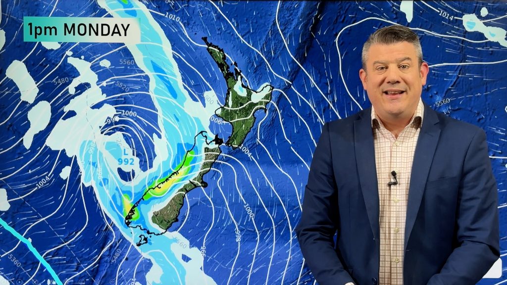
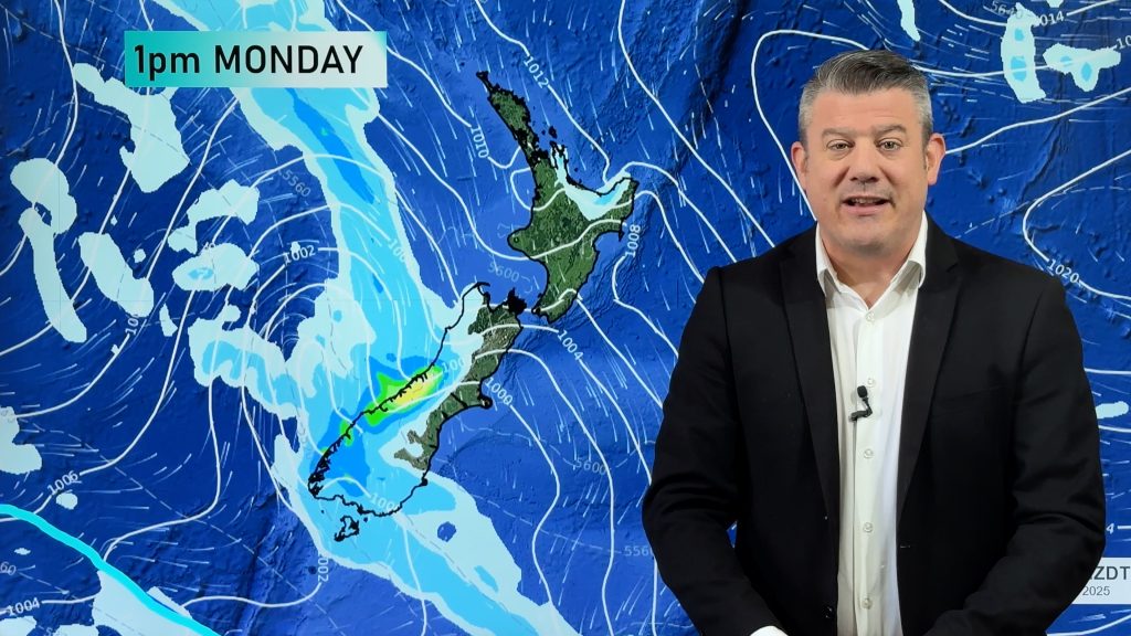
HEAVY RAIN ON SUNDAY – WEST COAST
A front pushes over the South Island on Sunday, reaching the North Island later in the day or overnight. As this front passes over the South Island plenty of rain is forecast to fall along the West Coast and about the Main Divide.

Comments
Before you add a new comment, take note this story was published on 2 Feb 2023.


Add new comment