Friday’s Headlines (x3): Heavy rain outlook, Strong wind outlook, High pressure late next week
9/02/2023 5:49pm

> From the WeatherWatch archives
Here’s what is making the weather headlines today.
For watches and warnings from Metservice in relation to tropical cyclone Gabrielle heading in please see this page here.
RAINFALL OUTLOOK
The map below shows the rainfall outlook for the next seven days, through till 17th February. More specifically where rainfall is expected to be higher compared to the statistical average and lower, blue is higher than average and red is lower than average.
A lot of this pertains to tropical cyclone Gabrielle which heads in early next week, we can see the upper North Island and the east coast gets the heaviest rain. Also while not as heavy Banks Peninsula up through to Marlborough gets rain too around Tuesday / Wednesday next week, considering it is quite dry in that part of the country at the moment this will be welcome. On the flip side this also shows the lower South Island and West Coast has some reasonably good weather coming up.
Coromandel and just north of Auckland through to Northland will be the spots to pay attention to for the heaviest falls, also East Cape, Gisborne and Hawke’s Bay.

STRONG WINDS SUNDAY THROUGH TO WEDNESDAY NEXT WEEK
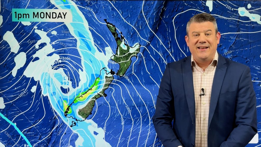
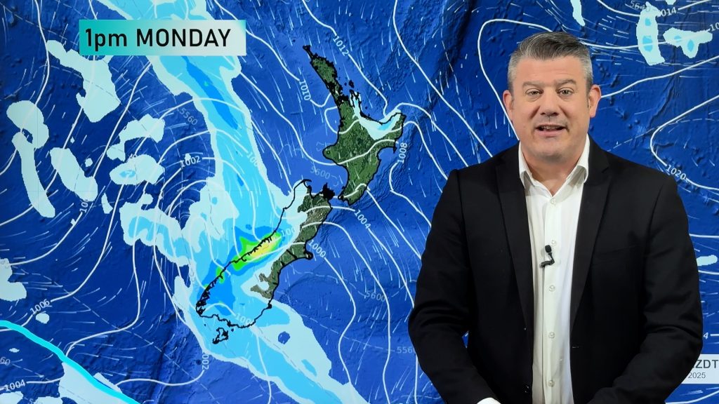
As tropical cyclone Gabrielle moves in and over the North Island, very strong winds will naturally be associated with it, you can see this in the maps below. There will be some change in the exact placement of these strong winds but generally the message is clear, batten down the hatches.

Wind map – Sun 12th Feb 2023 4:00pm – Weatherzone.com.au 
Wind map – Mon 13th Feb 2023 4:00pm – Weatherzone.com.au 
Wind map – Tue 14th Feb 2023 4:00pm – Weatherzone.com.au

HIGH MOVES IN FRIDAY NEXT WEEK
Wednesday next week is the final throws of what will be ex tropical cyclone Gabrielle, Thursday we have southwesterlies and showers still for some especially the North Island. Friday is when there is some calm returning as high pressure moves in

Comments
Before you add a new comment, take note this story was published on 9 Feb 2023.


Add new comment
Nigel on 10/02/2023 2:57am
This is like the weather in the 70’s.
Should be good surf somewhere.
Reply
Mike on 10/02/2023 12:10am
Cat 3 out of 5 sort makes it sound not so bad, It feels like people are not taking it so seriously because its only a 3. Have we ever had a 4 or a 5 hit NZ?
Reply
WW Forecast Team on 10/02/2023 1:34am
Any category of cyclone is serious – that’s why they have the numbers. NZ doesn’t get technical tropical cyclones, they become extra-tropical so they lose the category rating…but most excyclones are Cat 1 or 2 equiv. We’ve never had a Cat 4 or 5 equiv storm here in NZ.
– WW
Reply
AB on 9/02/2023 11:53pm
I have a flight on Tuesday 14th at 6:00am to Melbourne by Qantas. What are the chances it might be affected. Thanks.
Reply
WW Forecast Team on 10/02/2023 12:37am
Could well be, something you’ll have to keep an eye on.
WW
Reply
Anton on 9/02/2023 7:27pm
I see ‘Gab’ a cat 3 now and being called a exceptionally large cyclone.
Reply
WW Forecast Team on 9/02/2023 7:31pm
Hi Anton, yes BoM just officially upgraded it: https://twitter.com/WeatherWatchNZ/status/1623766316300795904
– WW
Reply