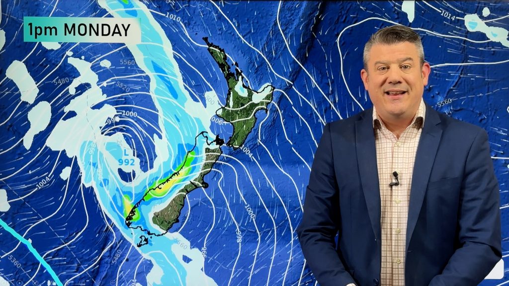
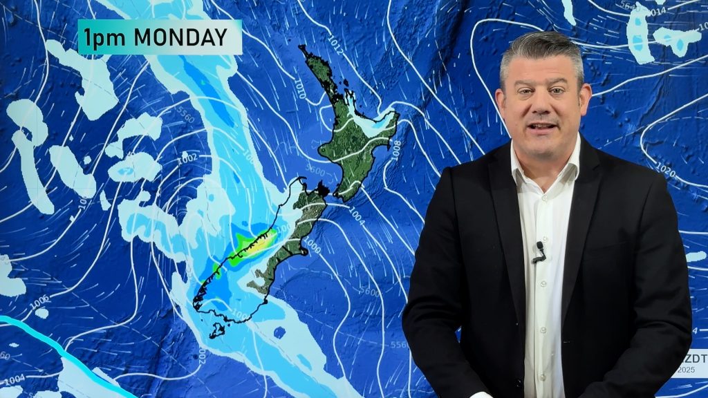
Weather headlines (x3) for Friday: High starts to move in, Some instability on Saturday, Hot in the east on Sunday
16/02/2023 6:00pm

> From the WeatherWatch archives
Here’s what is making the weather headlines today…
HIGH STARTS TO MOVE IN
A high pressure system starts to move in today from the Tasman Sea, mainly over the South Island but then expanding to the North Island overnight.
The weather for the South Island today is quite good, some cloud about coastal parts in the east though but this will clear away, a few afternoon clouds about the ranges also.
The North Island still has showers in the south and up along the east coast, these will thin out during the day. Bay Of Plenty has clearing showers this morning then finally Northland may see an isolated shower or two this afternoon thanks to some lower level instability.

MSLP / Rain map – Fri 17th Feb 2023 10:00am – Weatherzone.com.au 
MSLP / Rain map – Fri 17th Feb 2023 4:00pm – Weatherzone.com.au
SOME INSTABILITY ON SATURDAY
High pressure covers all of New Zealand on Saturday and it’s going to be a mainly settled day for most. There is a touch of instability in the mix though.
Waikato northwards in the afternoon sees a few isolated showers develop, the risk isn’t high but a few of these may become heavy with some thunder then easing later in the day. A touch of instability exists for the South Island also about some inland hills and ranges but the risk of any of these turning thundery is mostly on the low side.

HOT TEMPERATURES RETURN IN THE EAST ON SUNDAY
A front approaching the lower South Island on Sunday means the isobars start to get that familiar kink in them ahead of it, a northwest airflow develops and temperatures pop in the east.
Expect highs in the late twenties for the eastern South Island, perhaps even the early thirties in spots. The North Island has very nice temperatures also but a little more pleasant staying in the mid twenties.

Comments
Before you add a new comment, take note this story was published on 16 Feb 2023.


Add new comment