Nearly 400mm falls in Auckland in unprecedented deluge. Widespread flooding, road closures
27/01/2023 1:01pm

> From the WeatherWatch archives
Updated 2:01am Saturday — Here’s what is making the weather headlines this Saturday morning.
First the gales blew in Auckland – then the torrential rain came.
Major flooding continues across Auckland city and region this morning – but is easing from the north.
This event is not yet ever and there remains a HIGH RISK for flooding and slips overnight – but the bulk of the widespread heavy rain has eased in the northern half of the city and region.
While heavy rain, slips and flooding were all forecast for Friday – the intensity of this event has surprised everyone.
There is a marine heatwave nationwide right now (and around Auckland) which is adding to the intensity of the rain – along with warmer than average conditions in the atmosphere. This low was almost a tropical cyclone – so packs moisture, even though it’s not a very powerful low now. The precise wind angle today (shifting from ENE to NE) has contributed to this event impacting more of Auckland City than previous squash zone events.
HEAVY RAIN IN THE NORTH
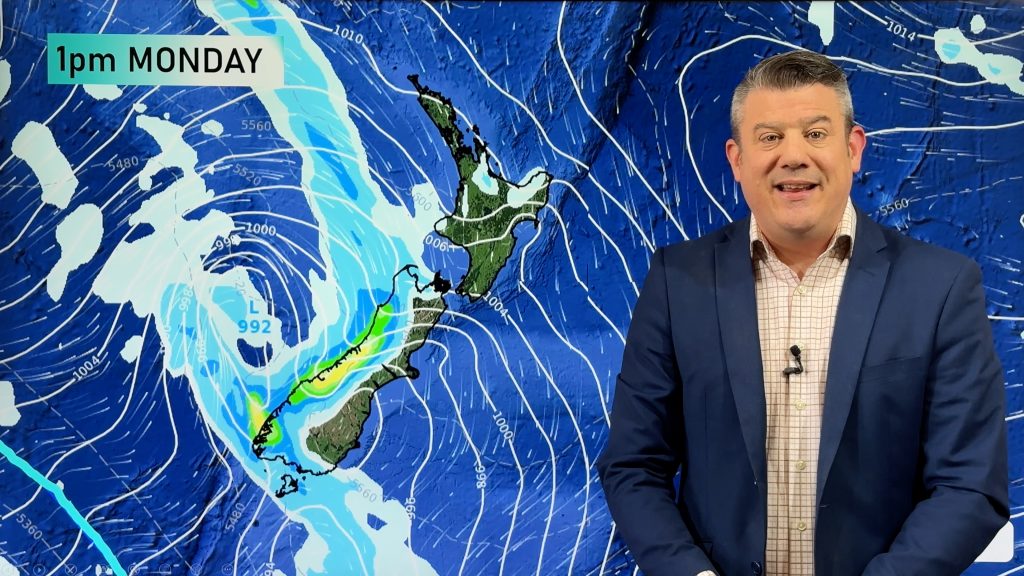
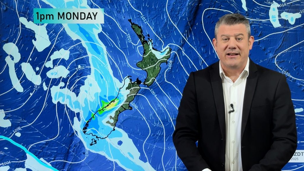
A low pressure system and front bring heavy rain into the upper North Island today, the airflow feeds in from the northeast and the atmosphere is very humid. The low generating the rain was almost a tropical cyclone last weekend – so it’s packing a punch. The high to the east is powerful and helping too – it’s also making for the gales in the ‘squash zone’ of air pressure between these two systems.
Check out the CURRENT watches and warnings from MetService here.

SOME WELCOME RAIN IN THE EAST – SOUTH ISLAND
Beyond the rain mentioned above for the North Island the eastern South Island gets some welcome rain too, it is no silver bullet and amounts are not high but anything is acceptable considering the lack of soil moisture lately.
Oxford for example gets 5 – 10mm with this front.

MSLP / Rain map – Friday 27th January 2023 10:00pm – Weatherzone.com.au 
RAIN CONTINUES FOR THE NORTH ISLAND THIS WEEKEND
A northeasterly airflow continues over the North Island this weekend, Saturday especially sees heavy rain in areas exposed to the northeast. So Hawkes Bay, Gisborne, East Cape and Bay Of Plenty. On Sunday rain looks to back off then Monday rain or showers return with some instability in the mix meaning a chance of thunderstorms.
All the meanwhile the South Island stays dry. The below map shows the expected rainfall over the next seven days, the blue areas is higher than average rainfall while red is drier than average, white is average rainfall.
Auckland may get more downpours and also isolated thunderstorms this weekend – while less intense than Friday’s deluge, there’s now a heightened risk of slips and flooding with the ground saturated.

Comments
Before you add a new comment, take note this story was published on 27 Jan 2023.


Add new comment