Weather Headlines: Frosts return, high pressure too, milder days & a low next week with sub-tropical connections!
8/07/2020 8:36pm

> From the WeatherWatch archives
Auckland water storage dams have more chances of rain, frosts head up to Waikato tonight and the days will start to lean warmer than average in a number of regions again.
FROSTS
After yesterday’s nationwide southerly change, temperatures tonight drop below zero as far north as Hamilton/Waikato, meaning we have frosty weather nationwide.
NZ’s only Frost Forecaster can be found here, so you can check out your local frost risks: www.RuralWeather.co.nz

You can also see the BELOW ZERO forecast maps we have here: www.weatherwatch.co.nz/maps-radars/temperature/below-zero

HIGH PRESSURE – COLD NIGHTS, MILD DAYS
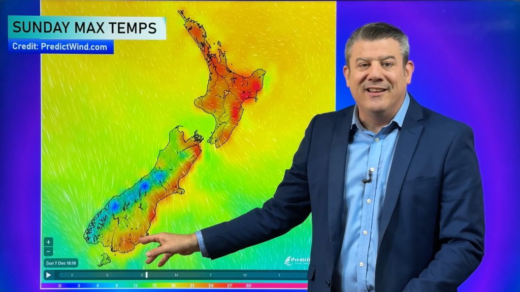
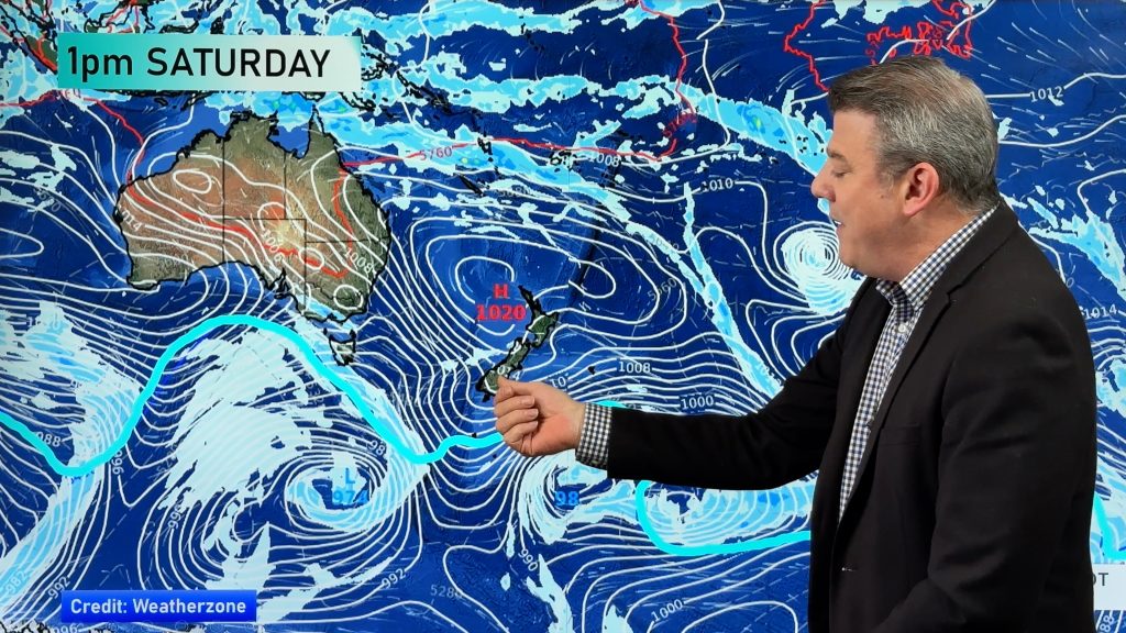
A belt of high pressure slowly moves into New Zealand this weekend and into next week, bringing drier than average weather into many regions. It means cold nights, with below average temperatures tonight. It also brings milder days ahead. Many people find this weather quite pleasant.


RAIN NEXT WEEK:
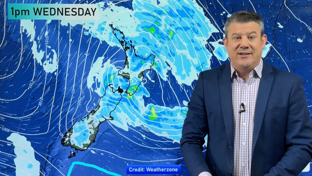
Northern NZ has another shot of rain next week (Next Thursday to Saturday). A low in the Tasman Sea may work with a high east of NZ to encourage a wet nor’easter. It isn’t locked in – it’s ‘one to watch’ – but for Auckland’s water storage problems this is another potential silver lining.

You can visit both RuralWeather.co.nz and WeatherWatch.co.nz for daily and hourly rainfall totals in your specific location for 10 days out. The graphs at RuralWeather.co.nz bring it to life.
Comments
Before you add a new comment, take note this story was published on 8 Jul 2020.


Add new comment