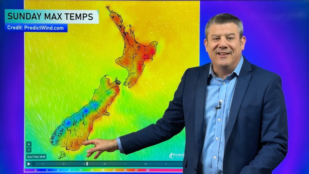
VIDEO: Your weekend weather & outlook for next week
30/06/2022 11:54pm

> From the WeatherWatch archives
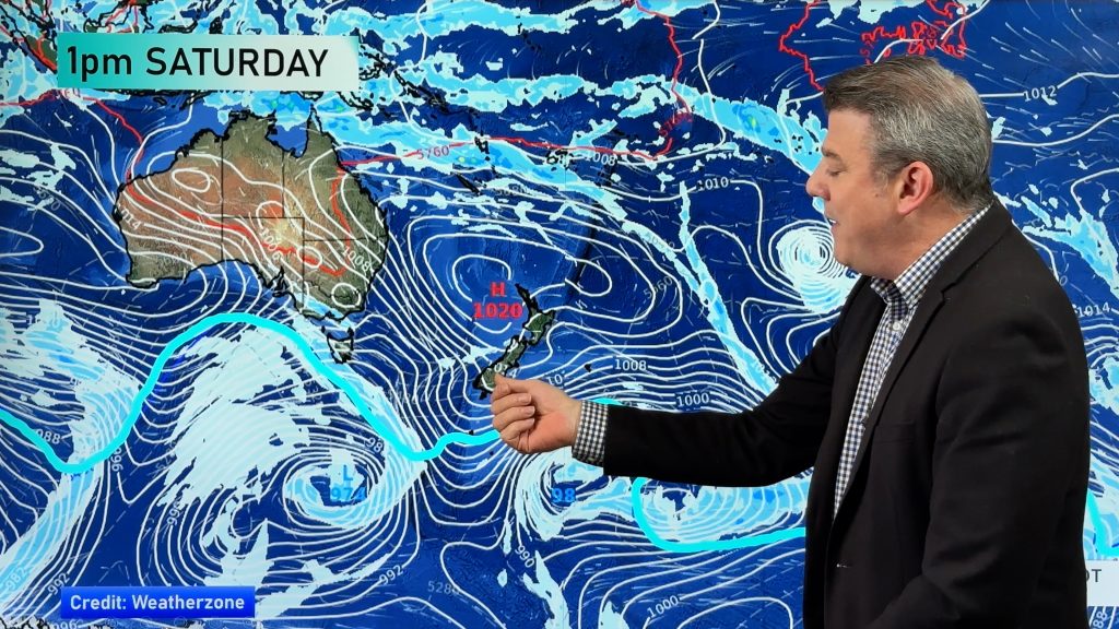
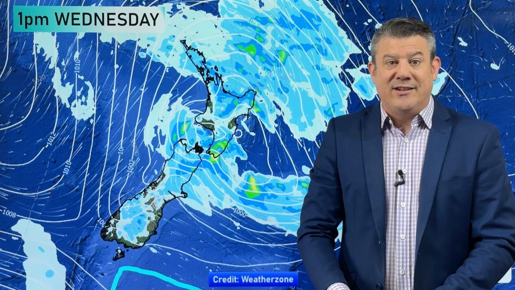
Stormy weather will set in across parts of eastern Australia – then reaches NZ next week as it falls apart.
For Australia’s eastern seaboard totals range from 100 to 200mm over the coming 5 days. When it reaches NZ it should bring about half that.
Gales will affect coastal Sydney for a time (Sunday night/Monday) and then a windier changes with gusts to gale moves into coastal Southland and Cook Strait next week – nothing major for NZ though.
We have your NZ/Aussie forecast out to next Wednesday.
*CLIMATEWATCH – Don’t forget our JULY ClimateWatch update is issued today too. Video will be on YouTube, with maps and stories (and video) available from both RuralWeather.co.nz and WeatherWatch.co.nz.
Comments
Before you add a new comment, take note this story was published on 30 Jun 2022.


Add new comment
Craig Scanlon on 1/07/2022 4:17am
Hi Philip,
Appreciate your excellent work. One question can you please explain how the West Coast (SI) is likely to get around 70mls on Tuesday/Wednesday as per video. Yet on the climate update on you tube (which was excellent), looks like getting only 60-80mls till the 15th July. Once again appreciate your excellent work.
Reply
WW Forecast Team on 1/07/2022 4:44am
Hi Craig – slightly different maps. The IBM one we used showing 70mm is more detailed and has better data in it. The longer range one is a more generic view and misses some of the peaks in the mountains. Your local WeatherWatch forecast will likely have the more accurate local rainfall for your specific area 🙂
Thanks for the support!
Cheers
Phil D
Reply