Video: Winter blast detailed update + Weekend weather
13/07/2017 5:30am

> From the WeatherWatch archives
Severe gales and heavy snow will continue to affect the North Island today with the heaviest snow in the eastern ranges and Central Plateau above about 400 or 500 metres, heavy rain in the east, and severe gales through Cook Strait, brushing Wellington.
This will continue across Thursday but eases gradually overnight and across Friday.
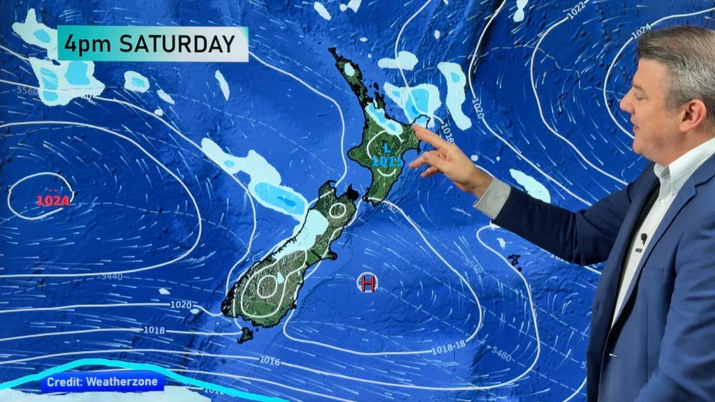
By the weekend, high pressure rolls in, although rain and NW winds arrive on the West Coast on Sunday.
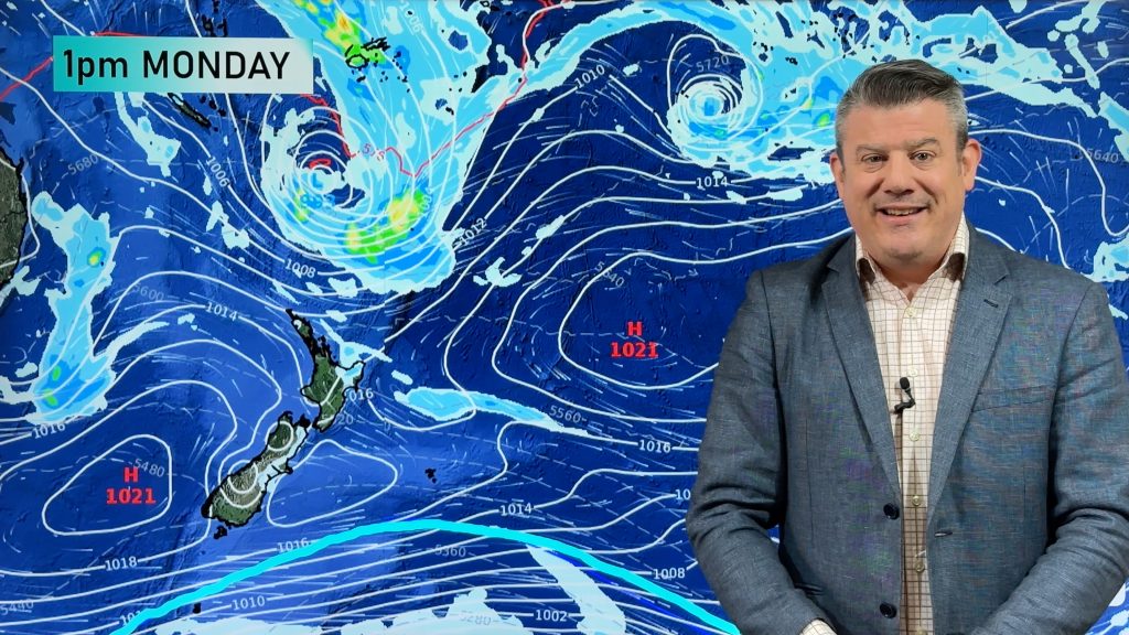
Next week may well end with a very large low crossing New Zealand.
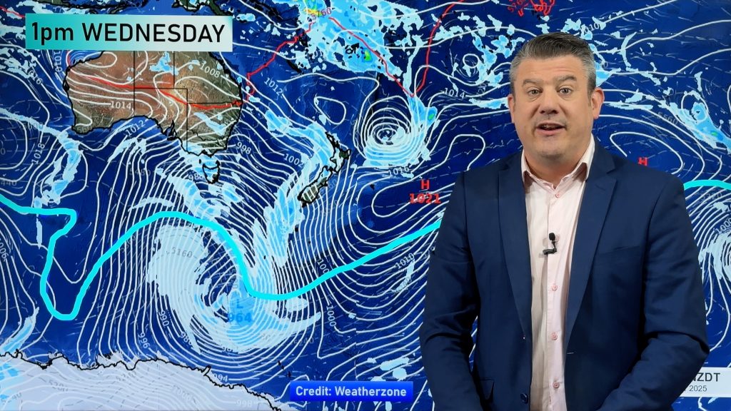
We take a look at the very large low-pressure system forecast to cross New Zealand one week from today.
*Please note, small slip up – we say Noon Thursday but mean Noon Friday early on – sorry!
Comments
Before you add a new comment, take note this story was published on 13 Jul 2017.


Add new comment
Derek on 13/07/2017 6:24am
Excellent Phil, you do it so well with your easy to understand explanations. Thank you so much.
Reply