VIDEO: Thunderstorms & tornadoes for NZ, severe cyclone for Western Australia
11/04/2023 12:53am

> From the WeatherWatch archives
Classic peak mid-Autumn weather across NZ and Australia this week with severe weather risks in both nations.
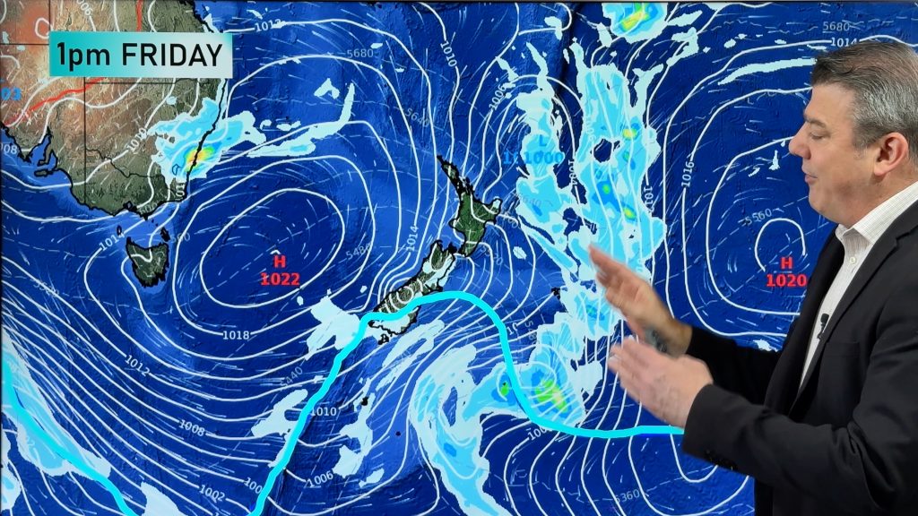
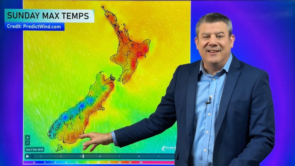
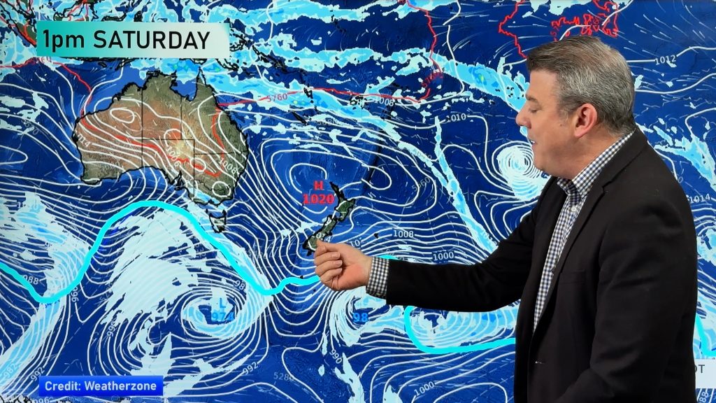
A mixture of big lows and big highs means there are temperatures swings across Australia – but NZ is stuck in a mostly warmer than average set up, especially for the North Island and upper South Island. More downpours with isolated thunderstorms and even tornadoes (or damaging localised winds) are possible (hit and miss) around New Zealand today – and again for the next few days ahead.
In Australia a tropical cyclone is forming in Western Australia and is expected to become a severe category 4 storm when it makes landfall this Thursday night between Broome and Port Hedland. Finally, this weekend in NZ a “squash zone” is expected – this produces blustery winds from the same direction (nor’east this time) for days in a row.
Comments
Before you add a new comment, take note this story was published on 11 Apr 2023.


Add new comment