VIDEO: Super stormy Southern Ocean, but highs still in the mix
9/03/2023 9:11pm

> From the WeatherWatch archives
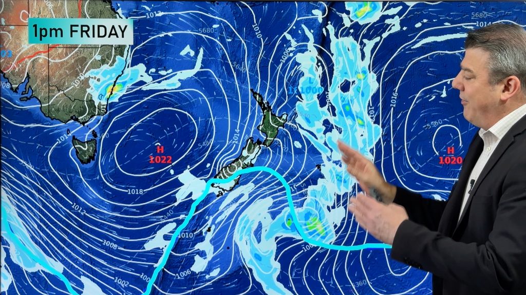
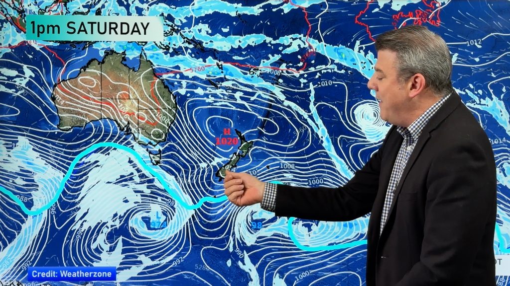
We’re tracking some significant storms in the Southern Ocean at the moment, but they are hugging Antarctica – meaning they encouraging windy westerlies at times into the NZ and southern Australia areas.
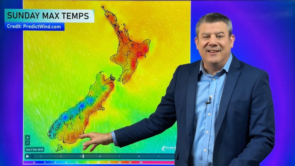
This weekend northern high pressure for NZ will see a warm Sunday, but by Monday a cold front from the Southern Ocean will drop temperatures by close to 10 degrees, before the next big high rolls in for mid week.
The storms are well south of NZ but we’re on the edges of them so they are influencing our weather with more West Coast rain (especially in Fiordland) and stronger west to south west winds at times.
Low pressure remains near Queensland driving in 50 to 70mm around Brisbane and the ranges with coastal showers next week increasing around NSW.
The tropics look more settled but next week a series of weak lows to monitor for any potential tropical cyclone development.
Have a great weekend – we’ll see you again on Monday!
Comments
Before you add a new comment, take note this story was published on 9 Mar 2023.


Add new comment
janet on 14/03/2023 3:34am
why isnt there any updates for mon or tuesday please
Reply
WW Forecast Team on 14/03/2023 5:35am
Hi Janet
Phil has had a family matter to attend to so unfortunately is away this week. He will be back.
WW
Reply