VIDEO: Sub-tropical winds but also rain bands then snow
6/05/2019 11:12pm

> From the WeatherWatch archives
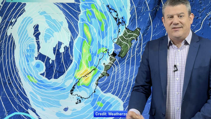
We are entering a fairly typical Autumn set up over the next week with a few cold fronts and a cold change later on Sunday and Monday bringing snow.
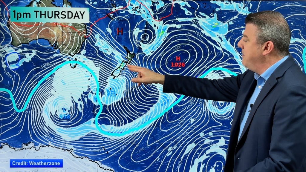
Over the next few days high pressure remains parked between the South Island and the Chatham Islands and this will increasingly bring a sub-tropical northerly flow to NZ.
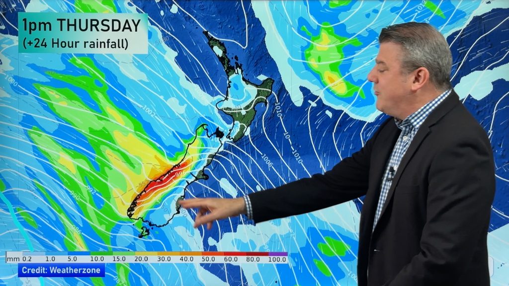
A cold front moves over the South Island on Thursday then another moves over both islands this weekend. On Monday a third cold front moves in with a snowy southerly (for the mountains and ranges).
Next week sees more dry weather and westerlies for many parts of the country.
Comments
Before you add a new comment, take note this story was published on 6 May 2019.


Add new comment
Guest on 7/05/2019 12:33am
you said theres one forming and it wont come here but sometimes madness ends by madness
Reply
Guest on 7/05/2019 8:26am
Hopefully nothing adverse forming North of NZ, we’ll be in that region soon.
Reply
Guest on 7/05/2019 12:30am
yeah its typical alright that’s why its heading to be the driest autum in 12 years as I said we need 200 plus mils this month to stop it so far we have had nothing shes a record breaker this year so the weathers far from typical
Reply