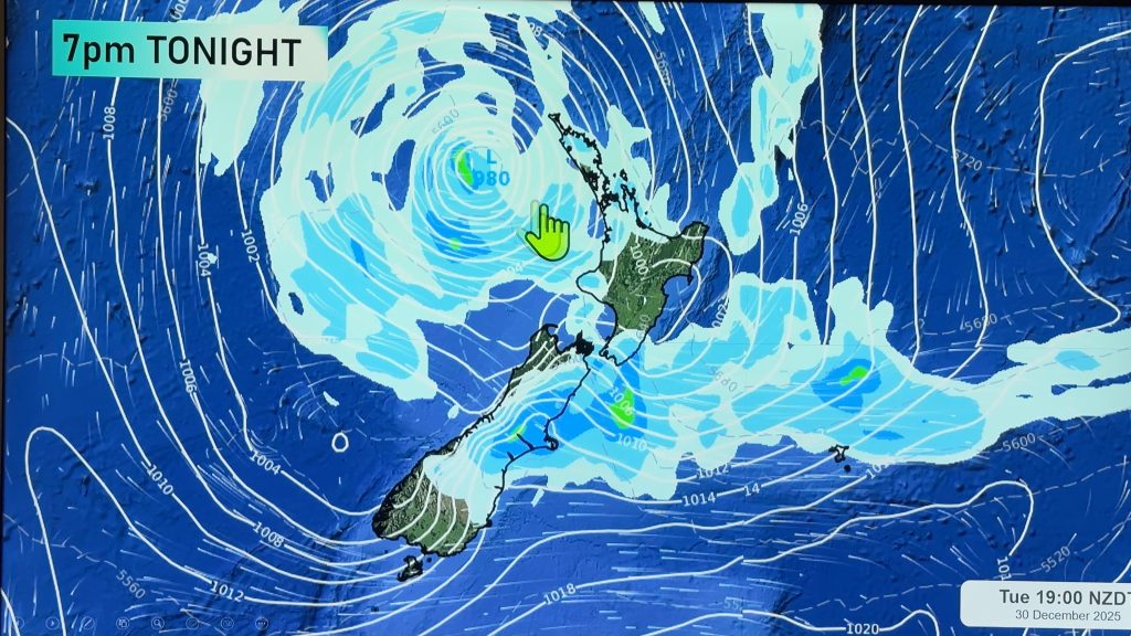
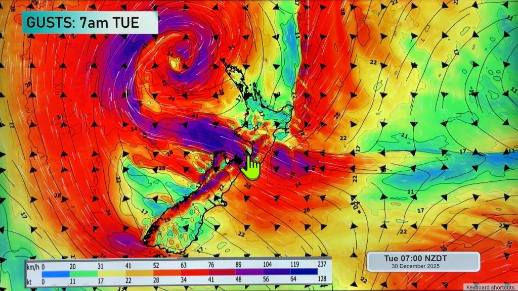
VIDEO: Special Update: Severe weather to Wednesday, then high pressure
5/07/2020 11:53pm

> From the WeatherWatch archives
NZ has pockets of severe weather in both islands for the next few days ahead as a large low around the South Island helps dredge up a colder southerly.
In today’s extended update we take a detailed look at the rain, snow and wind risks coming up.
Wednesday looks to be peak cold and wind, before high pressure grows behind it from the west.
The next area of high pressure will head towards NZ for the weekend and into early next week – where it may linger even longer bringing drier than normal weather back to many regions.
Comments
Before you add a new comment, take note this story was published on 5 Jul 2020.


Add new comment
Max on 7/07/2020 12:23am
I really like the video with forecaster – the variety of maps he uses really illustrates the wider climate system rather than focusing on temperatures of the main cities (which I feel like news shows typically do)
Reply
WW Forecast Team on 7/07/2020 1:17am
Thanks Max – much appreciated. We figure most people can see their forecast in a few seconds online, so the video is more about the bigger picture and *why* we’re getting the weather we are. Makes your local forecast more accurate too (at least the way you interpret it).
Cheers 🙂
Phil D
Reply