VIDEO: Some nationwide warming up to do, but a split in who gets rain next
9/09/2019 11:01pm

> From the WeatherWatch archives
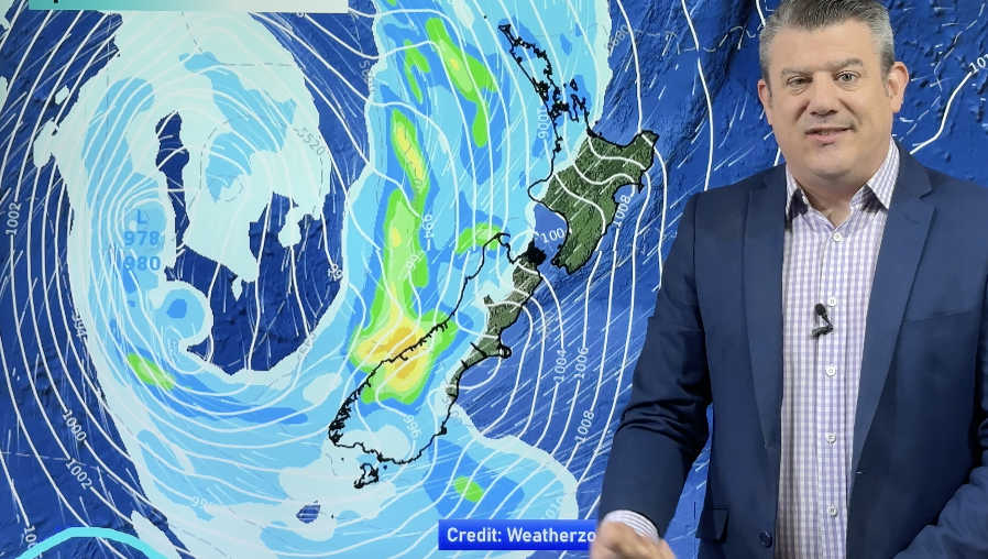
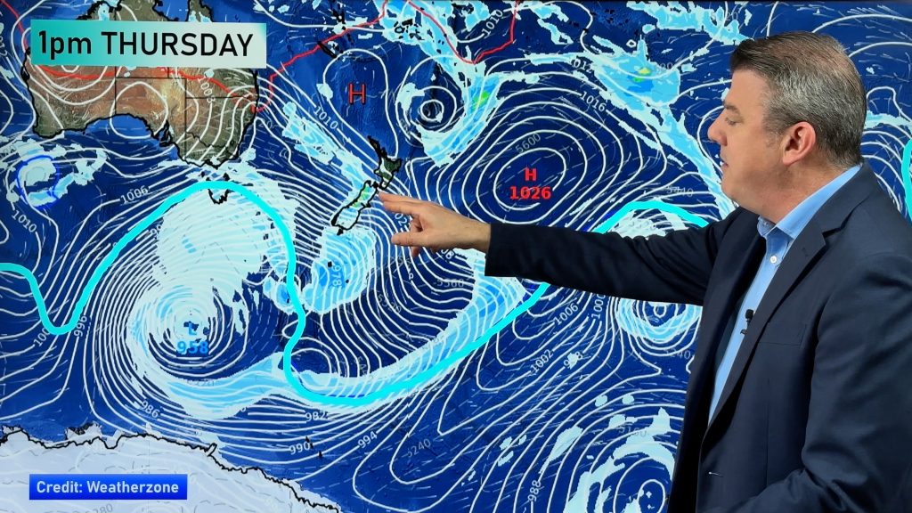
Low pressure around northern NZ is finally about to clear away with a spring-like westerly flow returning for the rest of the week.
This means a gradual warming up, especially in the eastern South Island which has a cold start to the working week but a fairly mild end.
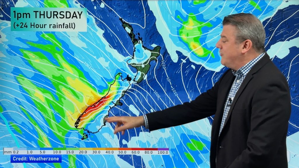
On Friday and Saturday a surge of rain and showers moves up NZ with a cooler S to SW change behind it – but it’s short lived and only some regions get wet weather while others stay dry and mild.
Comments
Before you add a new comment, take note this story was published on 9 Sep 2019.


Add new comment
Bart on 10/09/2019 1:15am
So far every time in the last 2 months you’ve predicted spring like westerlies it’s quickly turned southerly. Lets see how your prediction stands up this time 😉
Reply
WW Forecast Team on 10/09/2019 2:29am
Agree some have switched more southerly but there’s a reason August and a large part of September so far has had warmer than normal days (the start of this week the first exception in some time) – it’s due to an early surge of spring westerlies in our part of the world (locally they may be SSW, SW, WSW, WNW, NW or NNW).
Cheers 🙂
Phil
Reply