VIDEO: Showers in drought zones, a cool southerly and a tropical cyclone
8/03/2020 10:54pm

> From the WeatherWatch archives
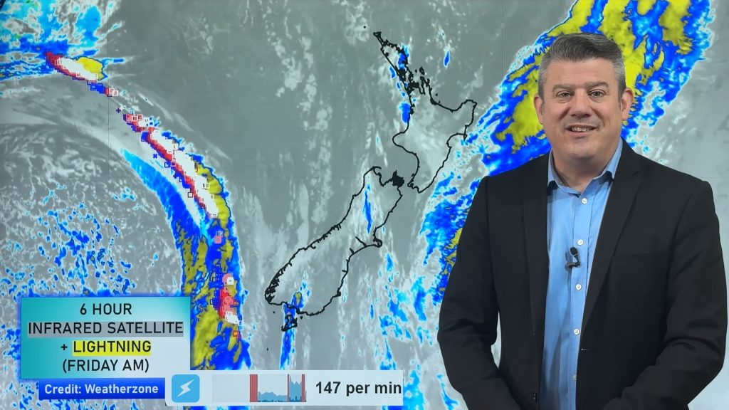
Wow, we have a busy weather video today as we track a huge change happening north of NZ in the tropics on top of a typical Autumn cool down this week.
Showers and patchy rain on Monday will be welcome for northern NZ’s drought zones.
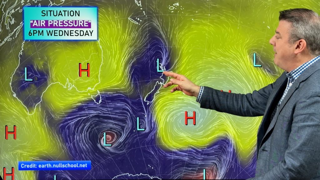
On Tuesday showers move into dry Canterbury also but comes with a colder southerly change which spreads nationwide on Wednesday with more showers into both islands – including drought zones.
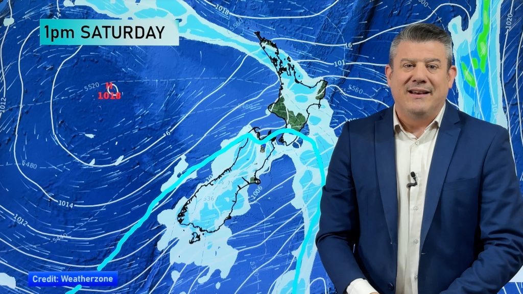
High pressure covers NZ later this week but into the weekend all eyes are north of NZ and north west.
A severe tropical cyclone is possible in the Coral Sea and low pressure may also be drifting to northern NZ.
Comments
Before you add a new comment, take note this story was published on 8 Mar 2020.


Add new comment
Kristy Darbyshire on 10/03/2020 7:47am
Ummm what would you predict will happen in Raglan this Saturday afternoon : evening ? Have a large outdoor wedding planned, stress is sneaking in!
Reply
WW Forecast Team on 10/03/2020 7:57am
Hi Kirsty
I’d like to tell you I know but the pattern coming up looks a little changeable to me, some models showing a dry and mostly sunny day with afternoon southwesterlies, other models showing building easterlies and patchy rain moving in during the afternoon. Perhaps come back and ask in a day or two? Or keep an eye on these maps here:
https://www.weatherwatch.co.nz/maps-radars/rain/rain-forecast
They’ll show you what is coming up for Raglan and you can keep checking them.
Or check out this link here: https://www.weatherwatch.co.nz/forecasts/Raglan,%20Waikato
The information in that second link is fairly brief regarding the txt but keep an eye on the percentage chance of rainfall for any rain indication.
These links will start to become a bit more consistent in the next day or two as Saturday gets closer.
Cheers
Aaron
Reply
Malcolm Yurak on 9/03/2020 1:25am
Hi Phil
Disappointed, no rain to the NW of Akl – it’s slid down the island via the coast, so still dry from Muriwai north. Was hoping for maybe 6 – 10mm!
Reply
WW Forecast Team on 9/03/2020 2:44am
Hey Malcolm, yes totally understand your disappointment. There is still a chance of downpour over the next few hours but the front is crumbling so it’s very hard to forecasting rainfall totals. Looks like most will have between 0 and 5mm, a few may get 7 to 12mm in the region. Wednesday and Thursday have a few shower chances, then it’s over to the weekend and next week.
Cheers
Phil
Reply